Survey Data

Garden No.

GA5373


Significance

Significant site - some loss of integrity


Landscape Elements

Landscape Park, Plant Collection


Townland

Raheen


Present on Ordnance Survey

First Edition: No

Second Edition: Yes, sheet 106

Revised Edition: Yes, sheet 106


Description

Raheen House or Raheen Park, c.1880, is located on a formerly large demesne at the northern edge of Athenry; the southern two-thirds of the demesne have been converted into housing; the remaining part preserves the character of a fine country house and park at the edge of town. From the eastern gate and gate lodge, c.1880, a driveway leads through a mature woodland with tall beech trees and Monterey cypress towards the house; both the house and farm buildings, c.1880, have been restored and the outbuildings are now in apartment use. A raised formal garden area, c.1880, with partly overgrown structures represents a significant landscape feature directly west of the house; a tennis court and restored walled garden, c.1880, are situated on the original (lower) level, east of the farm buildings. The walled garden features recent landscaping with restored formal paths, a greenhouse, extensive perennial plantings, ornamental shrubs and fruit trees. To the north of the house, a cattle farm with pastures and an old woodland are further remnants of the demesne landscape.

Site Data

Principal Building

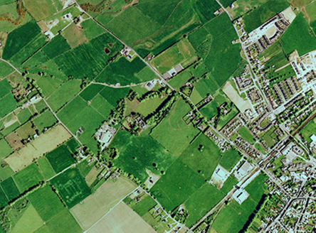
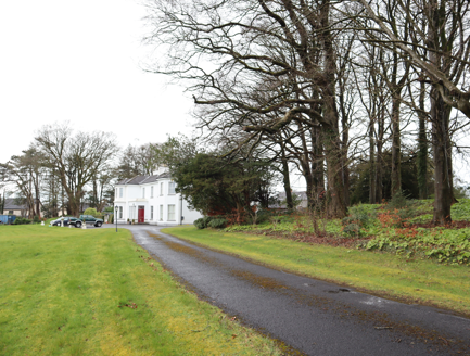
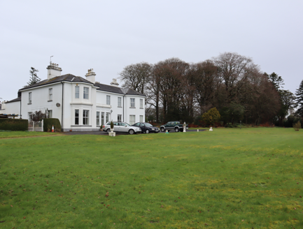
1:Five-bay two-storey U-plan house, built c.1880, facing south, with asymmetrical front and two-storey single-bay extension to west.

Ornamental Garden

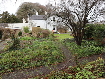
7:Partly overgrown remnants ornamental garden, c.1880, c.20 meters west of house on a small rise, c.1.5meters higher than house and walled garden, with tall beech trees.
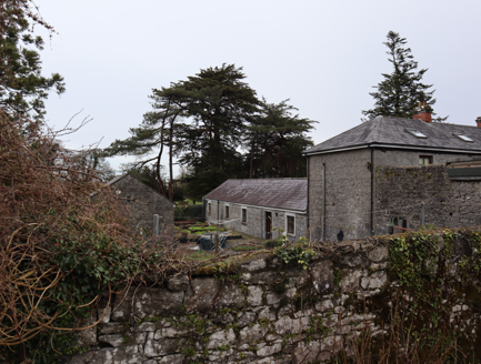
Outbuilding

6:Ranges of outbuildings, c.1880, to immediate north of house, converted for use as apartments, c.2000.
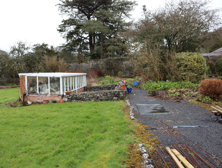
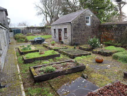
Productive Garden

8:Walled garden west of farmyard restored with formal layout of paths, lawn and planting beds containing perennials, some fruit trees and ornamental shrubs Raised vegetable beds in courtyard west of farmyard

Parkland

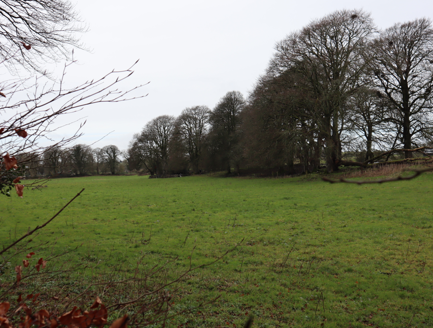
Parkland, c.1880, to south of house, now gone.

Woodland

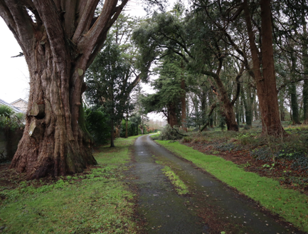
9:Woodland, c.1880, comprising c.1ha with original trees along access to north with mature beech, holm oak, cypress and western cedar.

Farmland

Farmland in pasture to north of house.

Avenue, Drive or Walk

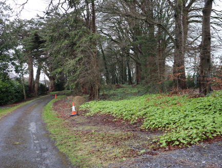
5:Remaining access, c.1880, splits at entrance, southern branch passes through woodland, north branch to the north of the woodland and onto the farmyard, both intact.

10:Probable main access from southwest, c.1880, led through parkland to house, now gone.

Gate Lodge or Gateway

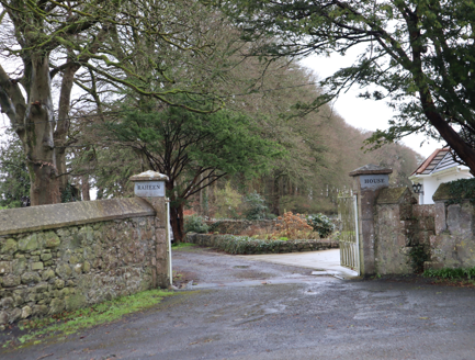
3: Cast-iron gates with ashlar piers to east of house, c.1880.

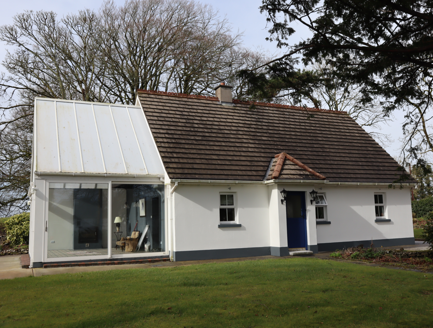
4:Gate lodge, c.1880, to north of entrance, now modernised and extended.

Entrance, c.1880, to south-west with gate lodge to north, gone by c.2000.

Boundary or Boundary Wall

2:Random rubble stone walls along road to east.

Other

11:Tennis court, c.1880, west of walled garden, intact.

Historical/Cultural Association

Overview
Site Footprint Visible Yes
Boundary Defined Yes
Significant Development No
Architectural Features
Principal Building No
Garden Building No
Buildings of Indeterminate Purpose No
Gateways and Gatehouses No
Avenues, Drives and Walks
Avenue No
Drive or Walk Yes
Garden Features
Ornamental Garden No
Walled Garden Yes
Orchard No
Parkland Yes
Woodland Yes
Natural Water Feature No
Artifical Water Features No
Allée No
Vista No
Other No
We want to hear from you! Get in touch and help us improve this record.