Garden No.
GA5286
Significance
Significant site, substantially intact - built structures and planting in good condition
Landscape Elements
Buildings/Artefacts, Landscape Park, Plant Collection
Townland
Crumlin
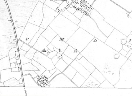
Present on Ordnance Survey
First Edition: No
Second Edition: Yes, sheet 106
Revised Edition: Yes
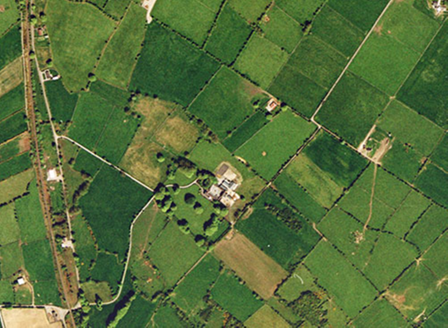
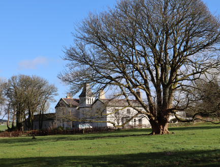
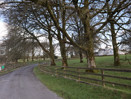
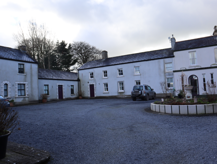
Crumlin Park House, 1844, is an interesting example of a mid-19th century demesne, created from scratch. The house bears two fronts; one overlooking parkland to the south-west, and the main front which includes an Italiante turret, facing north-west to the turning area for its south-western and north-western drives. The house forms a range of the farmyard, c.1845, located to the north-east and a walled garden, c.1845, is located to the south-east. An earlier clachan, Pollsillagh, with multiple holdings, located to the north of the demesne, was cleared to make way for the landscape park and its farm; the only traces of this village are now recorded in the townland name. The Athenry to Tuam railway line was built to the west of the demesne.
Principal Building |
1:Country house, c.1845, on a hill, having an irregular plan with gable-fronts and an Italiante tower to the north-west facing front; garden front faces south-west, overlooking parkland. |
Outbuilding |
6:Farmyard, c.1845, to immediate north-east of house, comprising four ranges of single- and two-storey buildings, including the house, in good condition. |
Productive Garden |
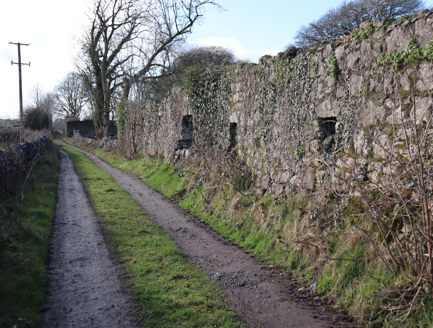
7:Walled garden, c.1845, to south-east of house and farmyard, intact. |
Parkland |
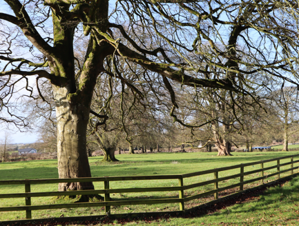
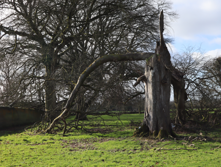
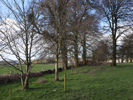
8:Fine parkland, c.1845, on rising ground, intact with many specimen trees, some in poor condition. |
Woodland |
Extensive woodland areas, c.1845, to west and north, now gone due to the development of sites for housing; one area of woodland in the parkland possibly used to conceal an earlier clachan, this woodland is also gone. |
Farmland |
9:Farmland, to north of house and yard, many fields subdivided by 1932. |
Avenue, Drive or Walk |
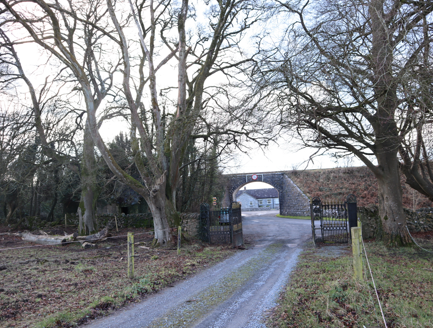
4:Main access, c.1845, from south-west, joined by access from north-west, sweeps up to elaborate turning area to north-west of house. |
5:Secondary access, c.1845, from north-west joins main access before it reaches the house, offers good perspective of topography and trees to parkland. |
|
Gate Lodge or Gateway |
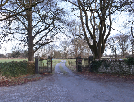
2:Entrance, c.1845, to south-west of house, comprising cast-iron railings and piers; t-plan gate lodge, to south of entrance. |
3:Second entrance, c.1845, to north-west of house; site of entrance extant but no structural remains. |
|
Boundary or Boundary Wall |
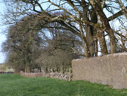
Dry-stone boundary walls around entire demesne and between fields. |
Martin J Blake, listed as the owner in Griffith's Valuation of 1853.
Overview | |
---|---|
Site Footprint Visible | Yes |
Boundary Defined | Yes |
Significant Development | No |
Architectural Features | |
---|---|
Principal Building | Yes |
Garden Building | No |
Buildings of Indeterminate Purpose | No |
Gateways and Gatehouses | No |
Avenues, Drives and Walks | |
---|---|
Avenue | No |
Drive or Walk | No |
Garden Features | |
---|---|
Ornamental Garden | No |
Walled Garden | No |
Orchard | No |
Parkland | Yes |
Woodland | No |
Natural Water Feature | No |
Artifical Water Features | No |
Allée | No |
Vista | No |
Other | No |