


Survey Data
Reg No
50100610
Rating
Regional
Categories of Special Interest
Architectural, Artistic, Social
Original Use
House
In Use As
Office
Date
1800 - 1860
Coordinates
316863, 233333
Date Recorded
20/06/2016
Date Updated
--/--/--
Description
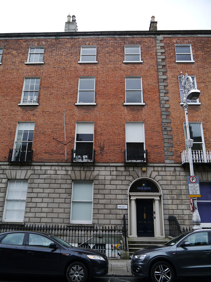
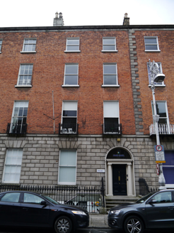
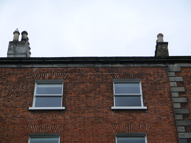
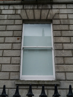
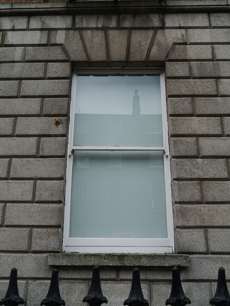
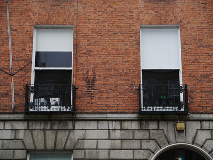
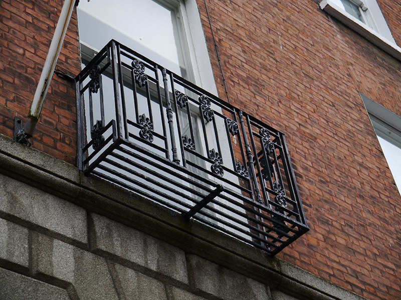
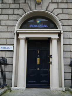
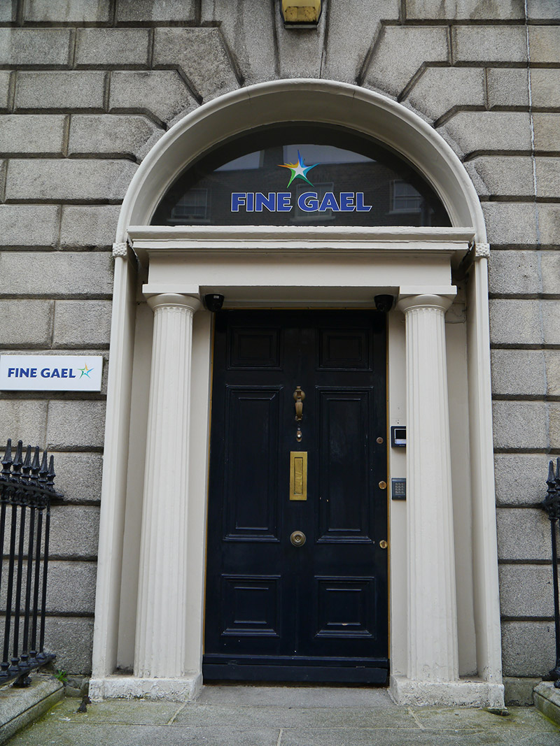
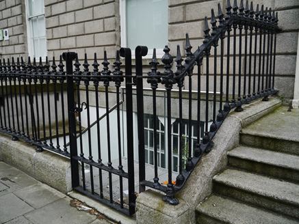
Attached two-bay four-storey former house over basement, built c. 1830 as one of pair with No. 50, with two-storey return to rear. Now in use as offices. M-profile pitched slate roof, having brick parapet with granite coping and parapet gutters, cornice and platband. Brick chimneystacks to west (rendered to east) with octagonal and round clay pots. Flemish bond red brick walling to upper floors, rusticated granite walling to ground floor with projecting moulded granite sill course above and projecting masonry course below, over painted rendered walls to basement; brick to rear. Square-headed window openings, diminishing in height to upper floors, with rendered reveals and painted masonry sills, and with granite surrounds to basement and ground floors. Timber sliding sash windows with ogee horns, ten-over-ten pane to basement and one-over-one pane elsewhere. Decorative cast-iron balconettes to first floor and wrought-iron grille to basement. Timber sash windows to rear, three-over-three pane to top floor, eight-over-eight pane to second floor and tripartite six-over-six pane below, with round-headed stairs window to west bay. Round-headed doorcase with moulded surround, rosettes to impost level, pro-style fluted Doric columns, plain entablature, plain fanlight and six-panel timber door with beaded muntin and replacement brass furniture. Granite entrance platform with five bull-nosed steps to street. Decorative spear-headed cast-iron railings on moulded granite plinth enclosing basement area. Cast-iron gate and steel steps lead down to basement. Plain square-headed doorway beneath entrance platform. carparking to rear of plot, with rubble limestone boundary wall to lane.
Appraisal
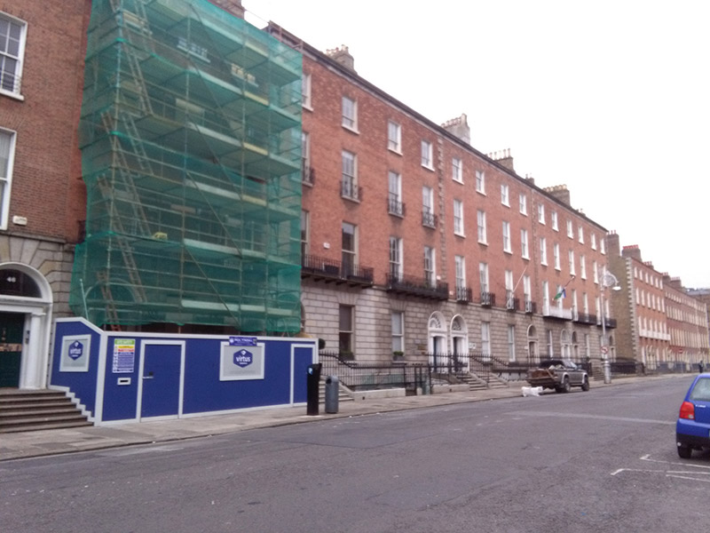
A late Georgian house, built in conjunction with No. 50 to the east and forming part of a largely unified row on the south side of Mount Street Upper. Despite the loss of some historic fabric, the character of No. 51 has been well-retained. It has the rusticated stone ground floor of houses on this stretch of the street, a fine Doric doorcase with a good fanlight, and ornate metalwork to its full-width balcony and railings. The intact setting enhances it and contributes to the cohesiveness of the streetscape. Laid out in the 1780s and principally developed by a Mr Osburne and David Courtney, the street was built to link the newly constructed Grand Canal to the upper-class residential developments radiating from Leinster House. Built in pairs and rows over a period of thirty years, the fifty-four houses within the street were completed by 1834. Variations, such as differences in parapet heights, are a telling feature of its piecemeal development, with the south side being notably grander than the north, boasting granite rustication across much of the ground floor. The street is terminated at its east end by St. Stephen's Church, transforming what is a typical and relatively modest late Georgian street into an urban set-piece, a key vista of Georgian Dublin.