


Survey Data
Reg No
50070320
Rating
Regional
Categories of Special Interest
Architectural
Original Use
House
Date
1720 - 1760
Coordinates
314847, 234518
Date Recorded
30/09/2012
Date Updated
--/--/--
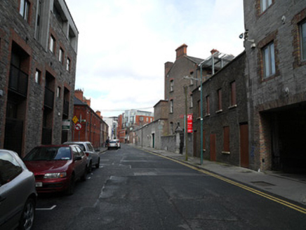
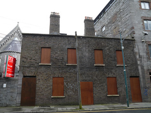
Description
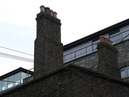
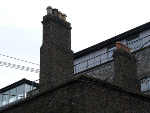
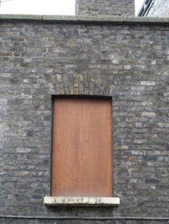
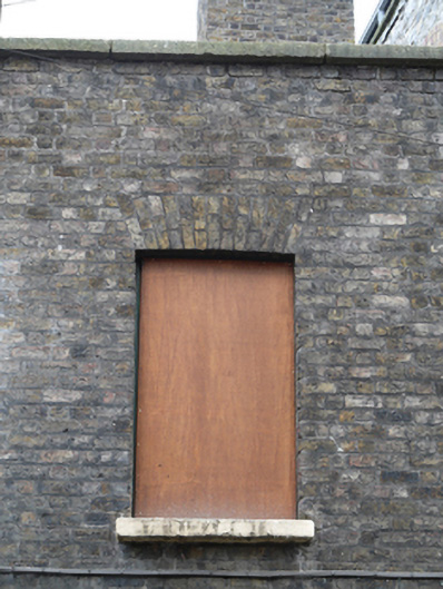
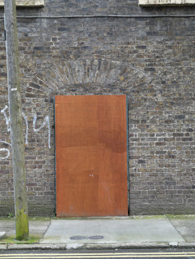
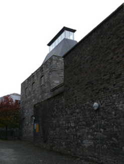
Pair of attached two-bay two-storey houses, built c.1740, front (west) facade having former archway between houses. Hipped slate roofs having granite capping to parapet. Brown brick chimneystacks having clay chimneypots. Brown brick walls laid in Flemish bond. Square-headed window openings having granite sills. Square-headed door openings having recent timber doors and overlights. All openings boarded-up. Elliptical-arched opening between houses with brick in-fill at high level.
Appraisal
Despite their disuse, both houses retain early fabric in the roof structure, chimneystacks and brickwork. The chimneystacks were constructed in the centre of the plan, parallel to the front elevations, and have an impressive presence to the streetscape. The central arch indicates the former presence of a lane into the centre of the block as depicted on Rocque's 1756 map of Dublin. This is similar to the arrangement with no.43 and no.44 Church Street, on the other side of this block.