


Survey Data
Reg No
50060476
Rating
Regional
Categories of Special Interest
Architectural, Social, Technical
Original Use
Bridge
In Use As
Bridge
Date
1780 - 1800
Coordinates
316740, 235631
Date Recorded
23/07/2014
Date Updated
--/--/--
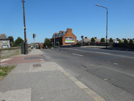
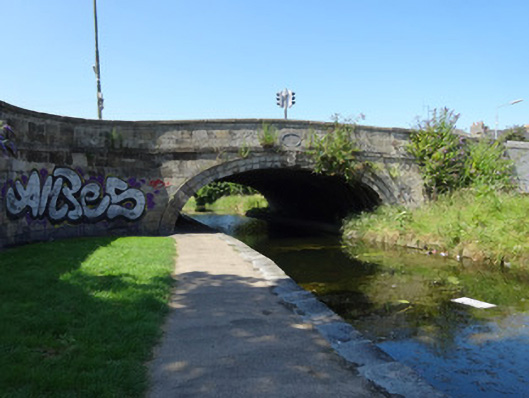
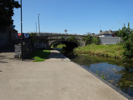
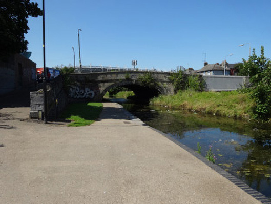
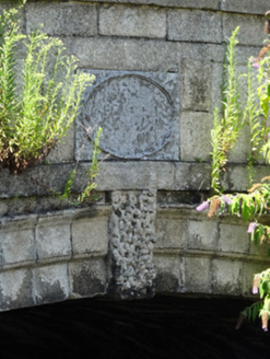
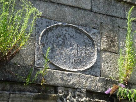
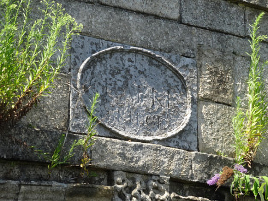
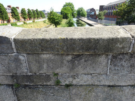
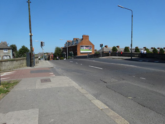
Description
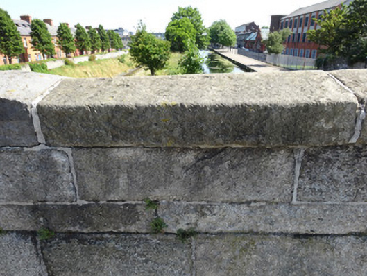
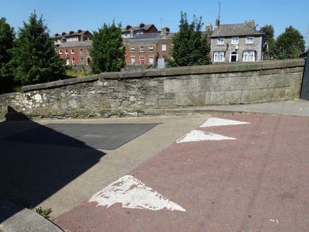
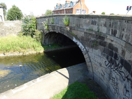
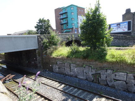
Single elliptical-arch canal bridge, built c.1790, carrying road over Royal Canal. Bridge extended to northeast to carry road over adjacent railway line. Each face of bridge has cut-stone voussoirs with vermiculated keystone. Cut-stone granite blocks to spandrels with plat-band beneath parapet. Oval name plaque reading 'Clarke’s Bridge'. Granite coping to parapet. Random-coursed Dublin calp limestone with plat-band to each abutment wall on southwest side of bridge. Abutments terminated by square-plan cut-stone piers. Abutments rise from canal level and turn at curved corners to meet the granite parapets. No abutments on northeast side of bridge. Stone setts to parts of asphalt road surface. Granite kerbstones to pavement with double kerbs on southeast side. Bronze plaque to northwest parapet reads 'Clarke’s Bridge, Droichead an Chléirigh'. Pedestrian crossing with textured paving flags to bridge. Bridge extended to northeast over railway line. Parapet extended in two phases: first using random-coursed limestone blocks, and second using concrete with limestone facing.
Appraisal
Built in granite, Clarke’s Bridge is one of the historic stone bridges that span the Royal Canal. The canal was constructed between 1790 and 1810 and restored in 2010. By the time of its completion it ran from Dublin’s Spencer Dock to Cloondara in County Longford, where it terminated at the River Shannon. The bridge has attractive cut-stone masonry. The segmental arches of each face are formed with cut-stone voussoirs and a decorative vermiculated keystone. Above this is the oval name plaque bearing the name Clarke.