

Survey Data
Reg No
50060031
Rating
Regional
Categories of Special Interest
Architectural, Social, Technical
Previous Name
Mountjoy House / Mountjoy Barracks
Original Use
Ha ha
In Use As
Ha ha
Date
1720 - 1730
Coordinates
309853, 236090
Date Recorded
17/09/2014
Date Updated
--/--/--
Description
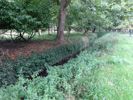
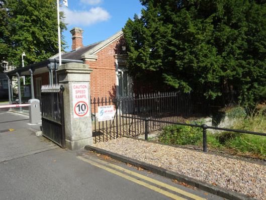
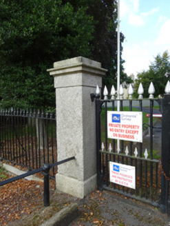
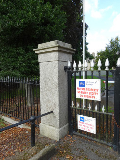
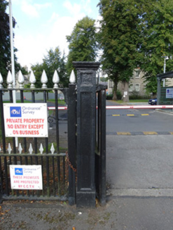
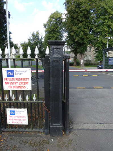
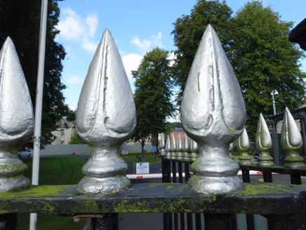
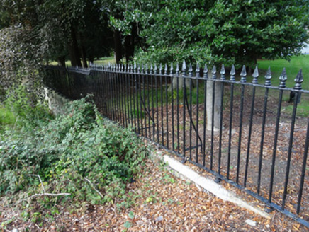
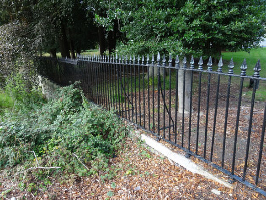
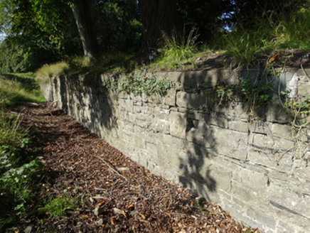
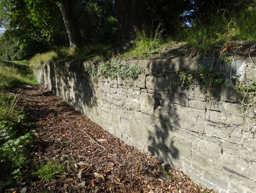
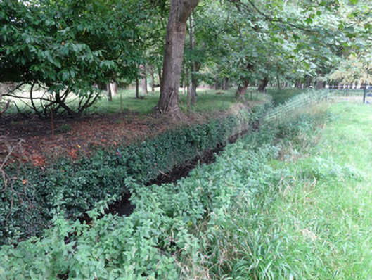
Boundary walls and ha-ha ditch, built c.1725, encompassing former Mountjoy House, now Ordnance Survey of Ireland complex. Battered random-coursed rubble retaining wall with outer ditch surrounding oval enclosure. Localised areas of collapse. Wall supports variety of plant life. Entrance to complex from Ordnance Survey Road via stone gate piers and entrance gates of c.1840. Square-plan cut-stone granite piers supporting wrought-iron gates with cast-iron spearhead finials. Pedestrian gate to south with flat-panelled cast-iron gate pier. Wrought-iron railings on granite plinth walls to north and south of entrance gate..
Appraisal
The walls, gateway and sunken ha-ha which surround the site of the Ordnance Survey of Ireland are a notable feature within Phoenix Park. They form the boundary of the oval enclosure to the former house of Luke Gardiner, a Keeper of the Park and developer of much of the Georgian north inner city. The site was assigned for use as a cavalry barracks c.1780. Although there is some localised collapse of stonework, the wall and ditch, by-and-large, are in very good condition.