


Survey Data
Reg No
50020183
Rating
Regional
Categories of Special Interest
Architectural, Artistic
Original Use
House
In Use As
Office
Date
1740 - 1760
Coordinates
315771, 234131
Date Recorded
10/03/2015
Date Updated
--/--/--
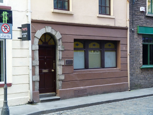
Description
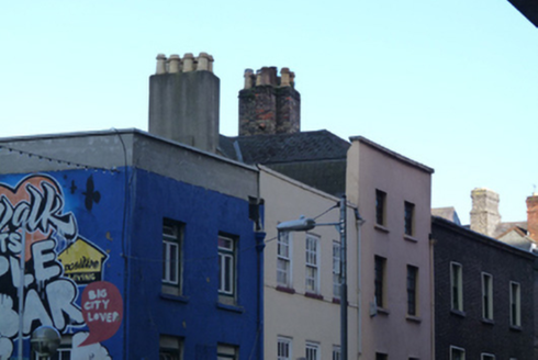
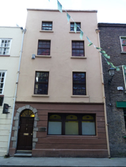
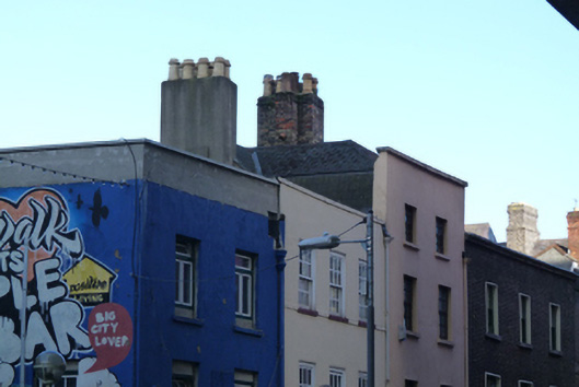
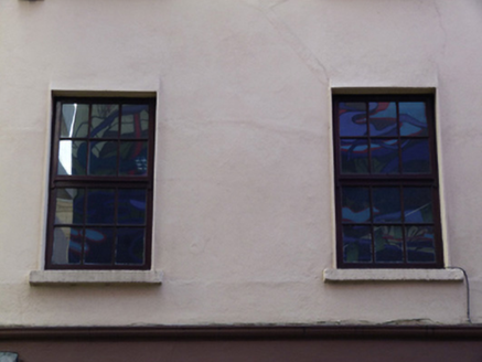
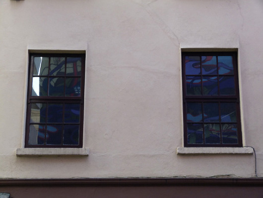
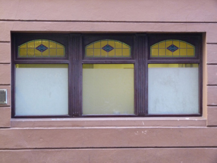
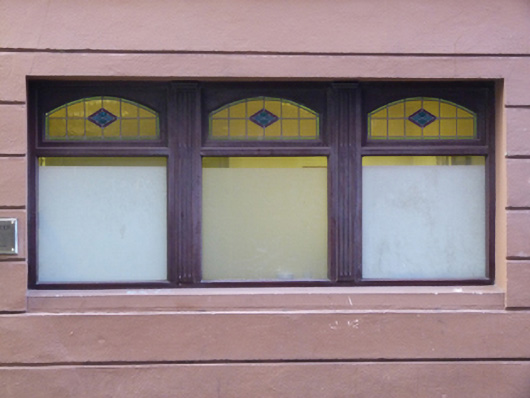
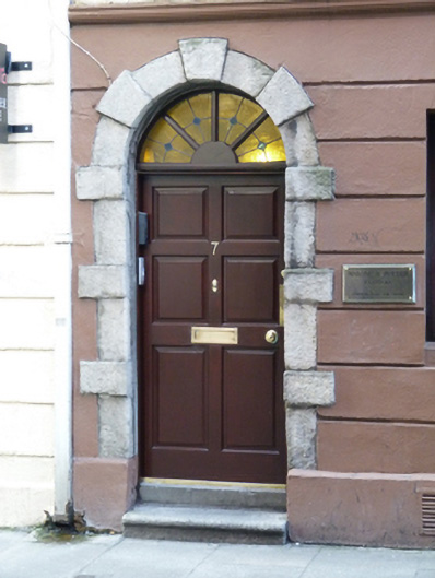
Attached three-bay four-storey former house, built c.1750, now in use as office. Hipped cruciform slate roof hidden behind smooth rendered parapet with masonry coping, rendered and brown brick chimneystack having clay pots, cast-iron rainwater goods. Smooth rendered walls over carved stone string course and channelled rendered walls to ground floor, with masonry plinth course. Square-headed window openings with masonry sills and timber casement windows to upper floors. Recent square-headed window opening to ground floor. Round-headed door opening having granite block-and-start surround, with replacement timber panelled door and stained glass fanlight, having nosed granite step.
Appraisal
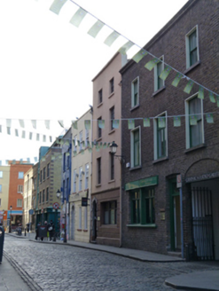
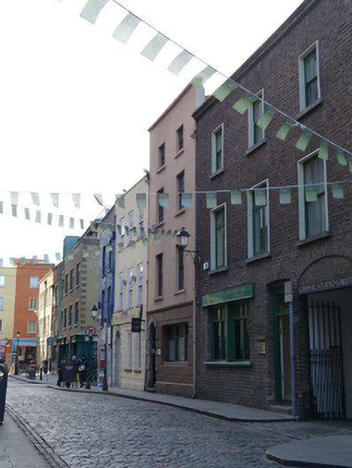
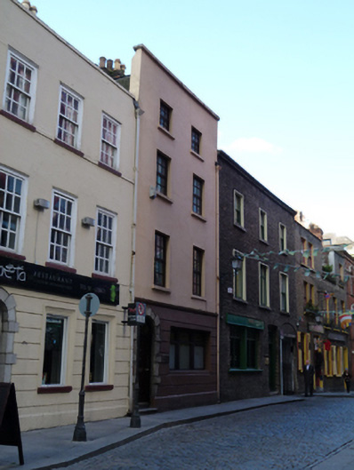
This building, along with those adjoining it to the east and west, is among the oldest remaining buildings in Temple Bar. Cope Street was largely developed by the mid-eighteenth century and appears on John Rocque’s 1756 map of Dublin. The cruciform roof, centrally-placed chimneystack and block-and-start door surround which was popularised by James Gibbs (1682-1754), are features which suggest a mid-eighteenth century date. It is recorded as a house and yard in Griffith’s Primary Valuation and as a dwelling and offices in the 1901 and 1911 census. Its scale and proportions of this house are in keeping with the small collection of eighteenth-century buildings in Temple Bar which chart the early architectural development and history of the area.