


Survey Data
Reg No
50020139
Rating
Regional
Categories of Special Interest
Architectural, Artistic, Social
Original Use
Building misc
In Use As
Restaurant
Date
1875 - 1885
Coordinates
315676, 234109
Date Recorded
20/02/2015
Date Updated
--/--/--
Description
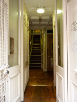
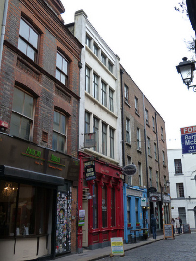
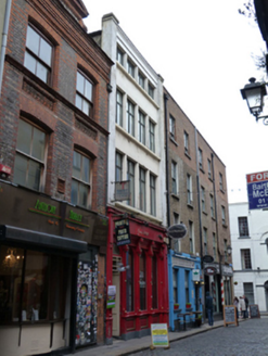
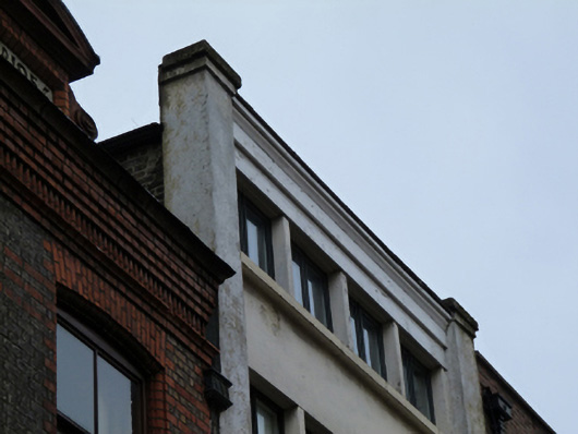
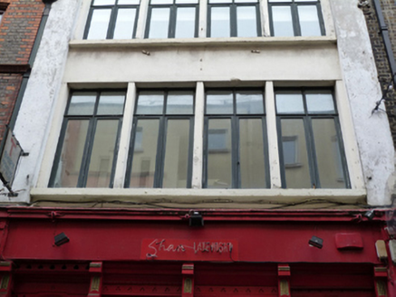
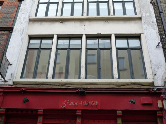
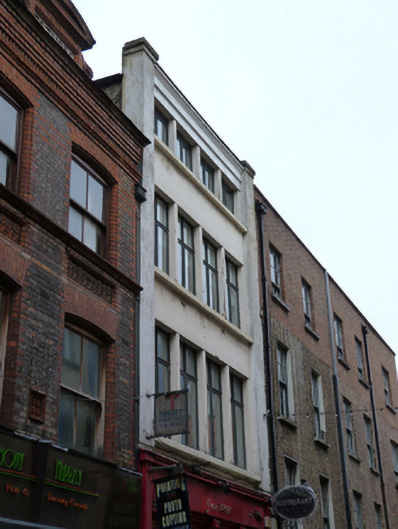
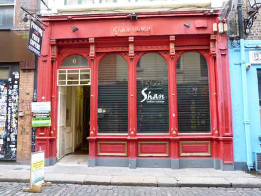
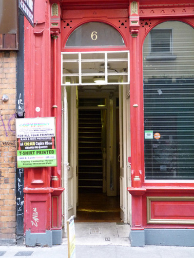
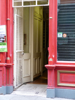
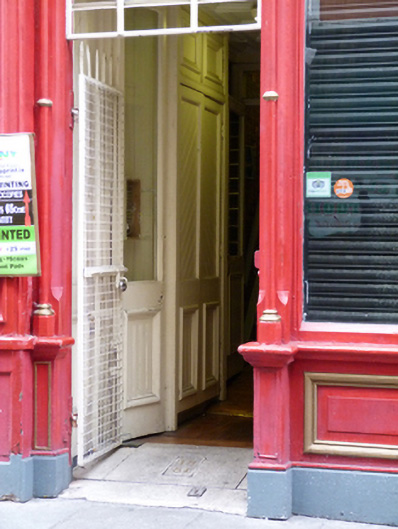
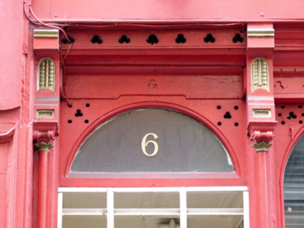
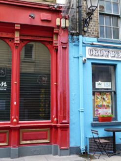
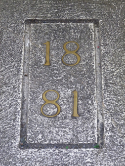
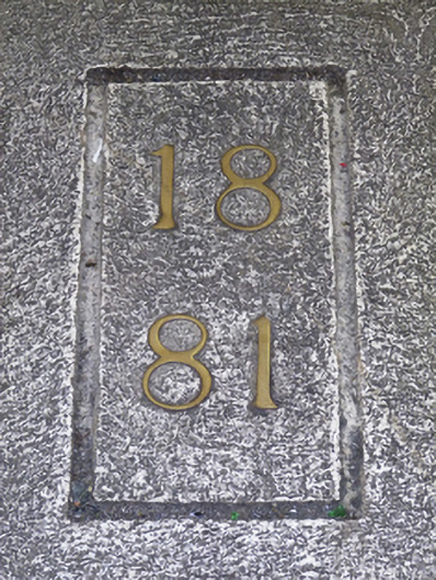
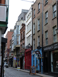
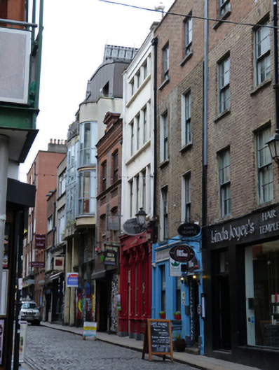
Attached four-bay four-storey former commercial premises, dated 1881, having shopfront to front (east) elevation, with rebuilt facade, c.1930, to upper floors. Now in use as restaurant and shop. Hipped roof, set perpendicular to street, hidden behind stepped parapet with render coping, moulded eaves course. Rendered walls having rendered pilasters, terminating in piers flanking parapet. Yellow brick wall to south elevation. Square-headed window openings with continuous render sills and timber casement windows. Timber shopfront comprising panelled stall risers having round-headed display windows with trefoil ornament to spandrels, timber colonettes dividing bays, having brackets supporting timber fascia and cornice, framed by timber panelled pilasters. Round-headed door opening with timber panelled door having plain fanlight, concrete threshold with inset brass date. Interior door with double-leaf half-glazed timber panelled door. Granite paving to front. Located on west side of Crow Street between Dame Street and Cecelia Street.
Appraisal
The traditional timber shopfront is highly decorative and adds visual and contextual interest to the later, eyecatching Art Deco twentieth century façade which comprises the upper floors. Commercial directories indicate the earlier building on the site was occupied by J. Watters ‘paper ruler and book binder’ in 1868 but had been subsumed into the neighbouring ‘Webb & Co. Merchants’ premises by the 1870s. An inset brass threshold plaque records the date 1881, indicating the year this and the neighbouring building to the south were rebuilt. Crow Street was named after William Crowe who held land the area in the early seventeenth century and built a house called the ‘Crowes Nest’. The street it was laid out in 1731 on land which is shown as undeveloped on Charles Brooking’s map of Dublin dating to 1728. The area was fully developed by the early nineteenth century and became a mixed residential and commercial quarter.