


Survey Data
Reg No
50011200
Rating
Regional
Categories of Special Interest
Architectural, Social, Technical
Original Use
Store/warehouse
In Use As
Hostel
Date
1720 - 1760
Coordinates
316363, 234708
Date Recorded
21/12/2011
Date Updated
--/--/--
Description
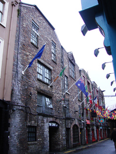
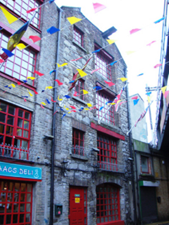
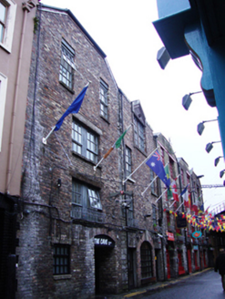
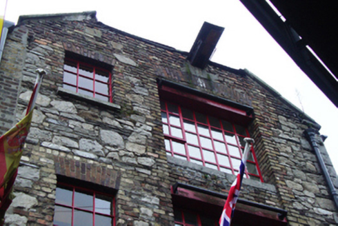
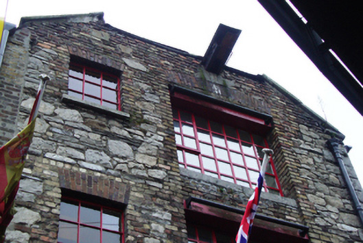
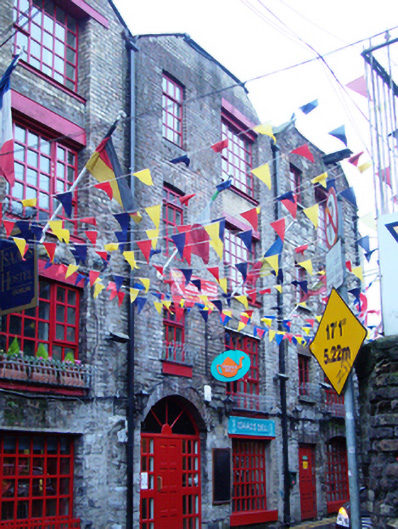
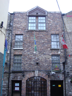
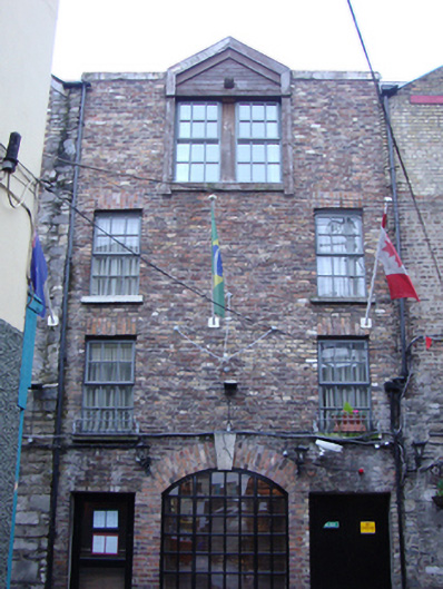
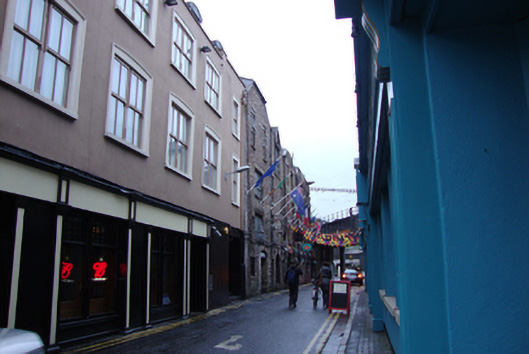
Row of five two-bay four-storey warehouse buildings, built c.1740. Now in use as commercial hostel, café and offices. Slate roofs to nos. 1, 2, 3 and 5, being hipped to south with and half-hipped to north at Frenchman's Lane. Roof of no. 4 removed, with modern rooflights, and perpendicular roof linking nos. 4 and 5 to north. Flat parapet to no. 4, with central timber pediment forming roof over dormer window. Replacement cast-iron rainwater goods. Brick and granite walls to all buildings, no. 1 to west consisting primarily of rough-cut granite with brick window and door surrounds. Nos. 2-5 consisting of red brick laid in Flemish bond, having replacement yellow brick to parapets and details. Some iron re-enforcement bars to upper rebuilt floors to no. 3. Masonry junction between nos. 4 and 5. Recent timber signage above some door and window openings to nos. 2 and 3. Gauged brick lintels to square-headed window openings to all five buildings, having replacement top-hung timber casement windows. Nos. 1-3 with irregular window openings to first to third floor, haiving wider window to west of normal window opening. No. 4 has windows placed close to junctions with neighbouring buildings, no.5 has central double windows surmounted by granite lintel. Former door opening with segmental-headed opening having enlarged keystone detail now large ground floor window at no. 4, and square-headed large window opening to ground floor no. 3, having recent fittings. Gauged brick segmental-headed door openings to nos. 2, 3 and 5 having replacement fittings. Tarmac road to north of site, no footpath.
Appraisal
Built on plots identifiable on Franchman's Lane in Rocque’s map of 1756, this collection of warehouses forms an important industrial element in the streetscape. The laneway in 1756 would have been on the outskirts of the city, with these warehouses serving the docks to the south, having Ship Buildings Street close by to the southwest. The row can be identified as being built in the early eighteenth century due to their roof profile. The laneway is significantly shorter than that shown on Rocque’s map, which was cut off to the west in the late eighteenth century to make way for Gardiner Street Lower which linked the newly built Customs House with Mountjoy Square to the north. Frenchman's Lane became intersected by the Loop Line Railway bridge, alternately known as the Liffey Viaduct or the City of Dublin Junction Railway, constructed between 1889 and 1891 to link Connolly Station on the north side of the river to Westland Row on the south. These fine brick and stone warehouses are a valuable reminder of the historic nature of Frenchman's Lane and the industrial heritage of this part of the city in the eighteenth century.