

Survey Data
Reg No
50011197
Rating
Regional
Categories of Special Interest
Architectural
Original Use
House
In Use As
Public house
Date
1760 - 1780
Coordinates
316060, 234591
Date Recorded
12/12/2011
Date Updated
--/--/--
Description
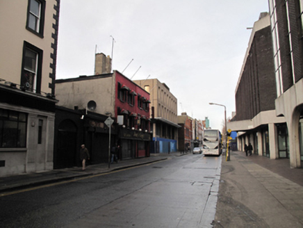
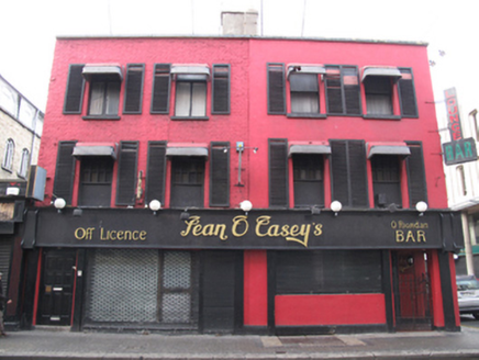
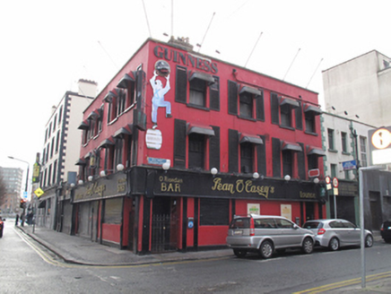
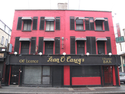
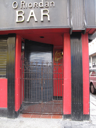
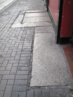
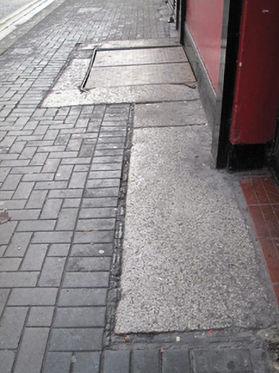
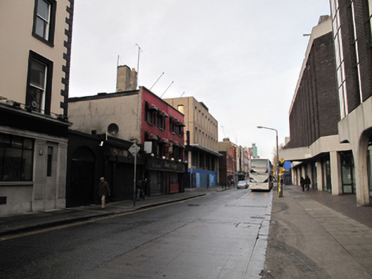
Corner-sited pair of two-bay three-storey houses, built c.1770, having four bays fronting onto Sackville Place. Now in use as single building. Hipped slate roof to north-east corner, flat to rest, with rendered chimneystack having clay pots and replacement rainwater goods, hidden behind parapet wall with masonry coping. Rendered walls, painted brick laid in Flemish bond to south of front (east) elevation. Bracketed sign to northeast corner. Square-headed window openings throughout, having masonry sills, recent plastic canopies, two replacement one-over-one pane timber sliding sash windows to second floor of main elevation, replacement timber windows to first floor front with coloured glazed upper panels, and timber casement windows elsewhere. Timber louvered shutters flanking windows to front elevation and easternmost three bays to north elevation. Recent shopfront to ground floor to each elevation. Angled entrance bay to ground floor to northeast corner with rendered surround, supported on square-plan rendered pier, with roller shutter over door, cast-iron gates to north and east elevations. Square-headed door openings to north and east elevations having timber panelled doors. Some original granite paving slabs to footpath to front.
Appraisal
Marlborough Street was opened c.1700 and developed by the Moore family, earls of Drogheda. Although the former houses have been significantly altered, their scale and the large central chimneystack suggests that they may have a late seventeenth or early eighteenth-century core. Dublin Civic Trust in the 2012 "Survey of Gable-Fronted Houses and Other Early Buildings of Dublin City" as being early eighteenth century in date. The report states "the large central stack and what appears to be a closet return to the rear of No.106, are clear indications of the early origins of the buildings. Rocque's map of 1756 depicts shared returns, however it is likely that the return to No.105 has been demolished or absorbed into ancillary structures". The nineteenth-century façade presents a standard appearance of modest scale and enhances the character and appearance of the streetscape.