

Survey Data
Reg No
41401817
Rating
Regional
Categories of Special Interest
Architectural, Technical
Original Use
Bridge
In Use As
Bridge
Date
1820 - 1840
Coordinates
269554, 322142
Date Recorded
29/04/2012
Date Updated
--/--/--
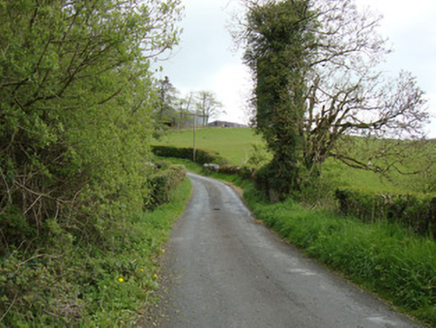
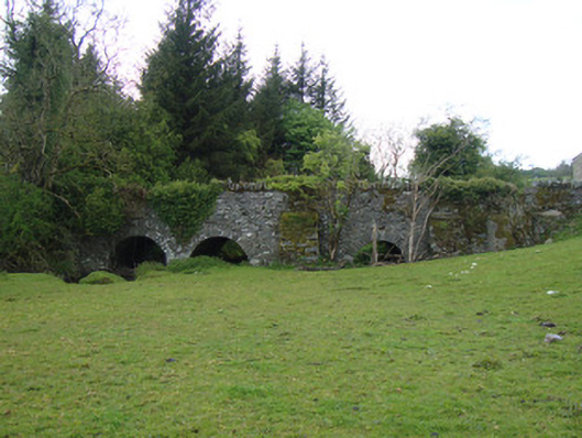
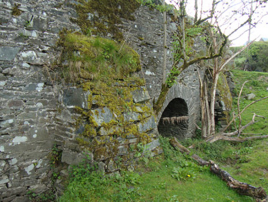
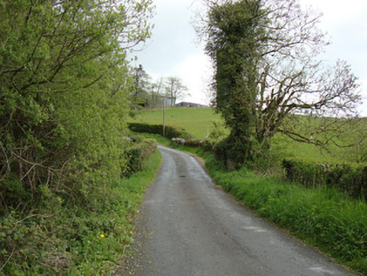
Description
Triple-arch road bridge over Dromore River Upper, built c.1830. Double arch to main river and with single flood arch at remove to south. Round arches with lightly dressed rubble sandstone voussoirs, and rubble soffits. Coursed rubble parapet and spandrel walls, with vertical stone copings to parapets. Coursed rubble buttresses to west elevation, flanking flood arch.
Appraisal
Located north-west of Ballybay, this bridge over Dromore River Upper is a landmark in this rural landscape. The triple-arch bridge spans the flood plains of the Dromore River, located south of a former corn mill. This well-executed structure was built at the site of an earlier crossing point and is a picturesque landmark on the river. The bridge employs local materials in its construction, with rubble limestone to the voussoirs, spandrels, parapet walls and buttresses. That the bridge remains in use in its present form is testament to the quality of its construction.