


Survey Data
Reg No
41401225
Rating
Regional
Categories of Special Interest
Architectural, Scientific, Technical
Original Use
Bridge
Date
1835 - 1845
Coordinates
254534, 327137
Date Recorded
02/05/2012
Date Updated
--/--/--
Description
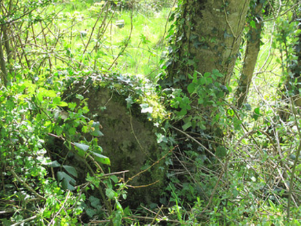
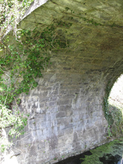
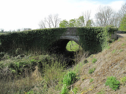
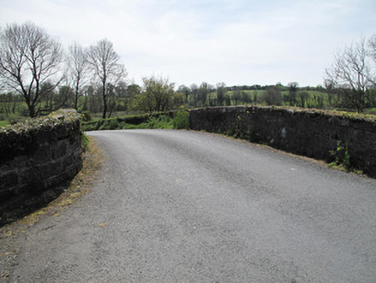
Single-arch canal bridge, built c.1840, carrying road over now disused Ulster Canal. Round arch with dressed sandstone voussoirs and cut sandstone soffits. Curved wing walls to north of east and south of west wall. Squared random rubble sandstone to spandrel and parapet walls, dressed stone copings to parapets having inscribed benchmark to coping to west, dressed stone platband to base of parapet wall. Towpath running to south, with tooled stone curbing. Dressed stone milepost to north-west of bridge, inscribed face to canal.
Appraisal
Linking Lough Neagh with Upper Lough Erne, this section of the Ulster canal opened in 1841 and was intended to provide a means of transport for passengers and bulk produce, thus aiding industry and the economy in the area. Skilled craftsmanship and engineering is evident, and tooled stone voussoirs, coping and platband enliven this bridge. This piece of canal infrastructure is a focal point at this junction and is a reminder of the industrial and social history of County Monaghan. The adjacent milepost adds contextual interest, being one of few which remain along the line of the canal.