
Survey Data
Reg No
40910110
Rating
Regional
Categories of Special Interest
Architectural, Technical
Original Use
Bridge
In Use As
Bridge
Date
1790 - 1830
Coordinates
210329, 371751
Date Recorded
22/01/2008
Date Updated
--/--/--
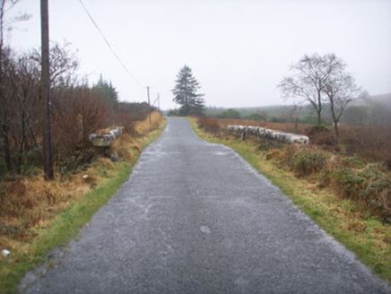
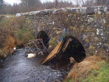
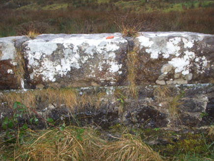
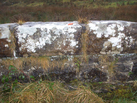
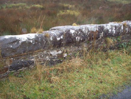
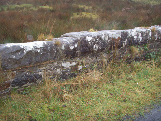
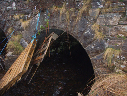
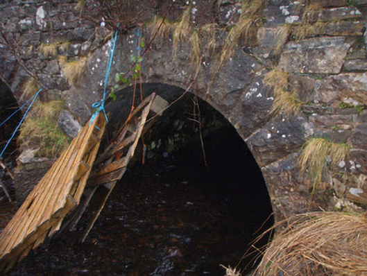
Description
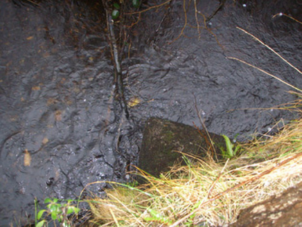
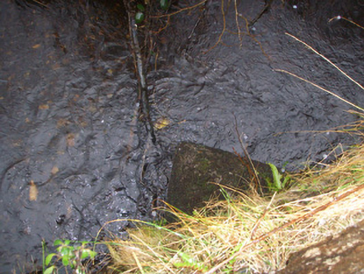
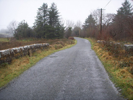
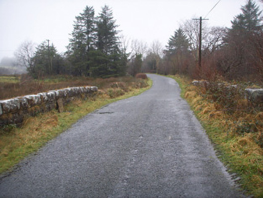
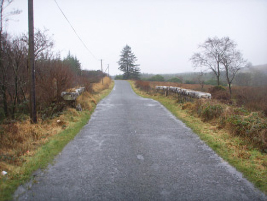
Double-arched bridge carrying road over the Ominey River, built c. 1860, having V-profile stone cutwater to central pier. Round-headed arches having rock-faced stone voussoirs with drafted margins; squared rubble stone construction to arch barrels. Squared rubble stone construction to spandrels and abutments; squared rubble stone parapets having rock-faced coping over. Squared rubble stone wing walls to either side. Tarmacadam deck with grass verges. Located to north of Pettigoe, and to the south-east of Station Island, Lough Derg.
Appraisal
This appealing and well-built bridge retains its early character and form, and is a feature of some picturesque merit in the rural landscape to the north of Pettigoe. It is robustly-constructed in good-quality squared local rubble stone masonry, and its continued survival and use stands as testament to the quality of its original construction, and of the skill of the masons involved. The good-quality rock-faced voussoirs to the arches and the rock-faced coping over the parapets are features found at the many bridges that were built or altered by the Board of Works during the mid-to-late nineteenth century, and particularly between c. 1847 - 60, suggesting that this bridge may have been built or heavily altered around this time. This bridge has been crossed by generations of pilgrims making there way to Station Island, Lough Derg, a short distance to the north-west, and its original construction may have been funded or partially funded by the Catholic Church. This appealing bridge is an attractive feature in the landscape, and is an integral element of the built heritage of the local area.