


Survey Data
Reg No
40906702
Rating
Regional
Categories of Special Interest
Architectural, Technical
Original Use
Bridge
In Use As
Bridge
Date
1760 - 1800
Coordinates
199532, 401854
Date Recorded
17/09/2007
Date Updated
--/--/--
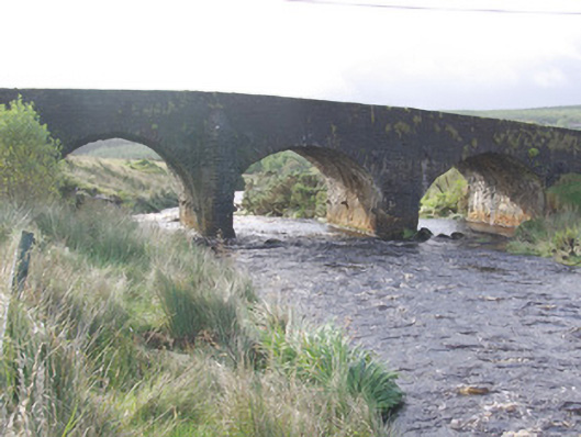
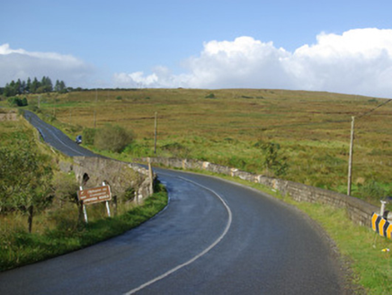
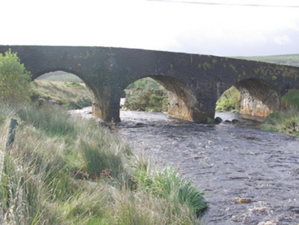
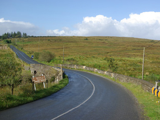
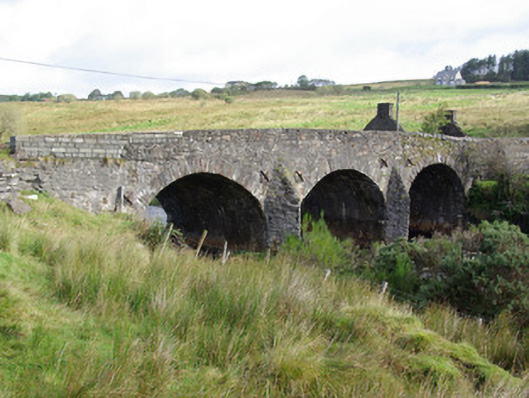
Description
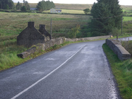
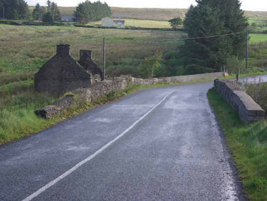
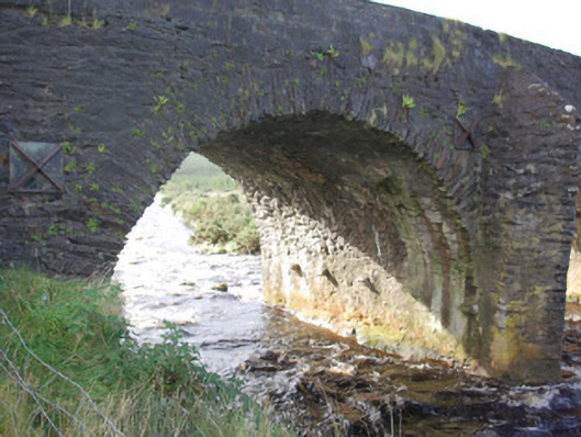
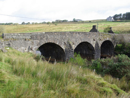
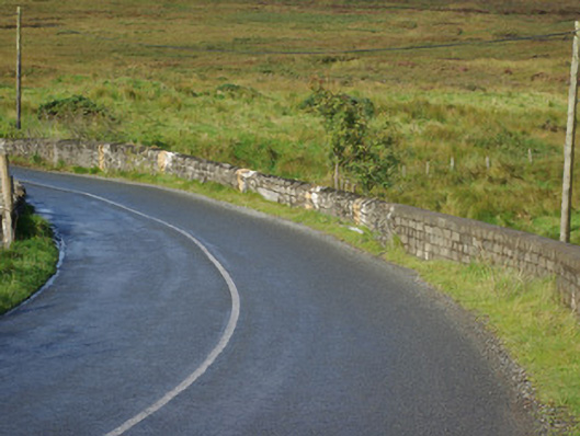
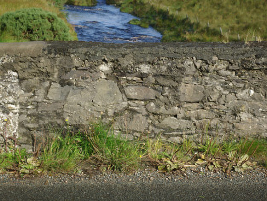
Triple-arch bridge carrying road over the Cummirk River, built c. 1770, having V-profile rubble stone voussoirs to the central piers to both upstream and downstream elevations (north and south). Segmental-headed arches having roughly dressed and square rubble stone voussoirs, and with rubble stone construction to arch barrels. Rubble stone corbels to piers of bridge below springing point. Rubble stone construction to piers and spandrels; rubble stone construction to parapets with modern blockwork repaired in places. Wrought-iron tie bars with cast-iron pattrice plates to piers and spandrels. Tarmacadam deck with grass verges. Cummirk River flows into River Finn a short distance to the south of site. Located in the rural countryside to the north-west of Ballybofey.
Appraisal
Despite some modern repairs, this appealing triple-arched road bridge retains much of its early character and form, and is an appealing feature in the rural landscape to the north-west of Ballybofey. The rubble stone construction and the three irregularly-spaced create a picturesque rustic appearance, and suggest that this bridge may be quite early. The cutwaters to both the upstream and downstream elevations reinforce this suggestion. It is robustly-constructed in rubble stone masonry, and its continued survival and use stands as testament to the quality of its original construction, and of the skill of the masons involved. The corbels to the arch barrels beneath the arch springing point were probably originally installed to hold the framework for the original construction of the arches. This bridge was probably constructed during late-eighteenth century, a period that saw a great deal of road and bridge-building in Ireland, particularly by the Grand Juries (the forerunners of the County Councils). A bridge is depicted at this location on the Taylor and Skinner map of 1777-1783, which is probably this structure. This bridge was probably the first bridge at this site, and was originally built along with the road. This charming rustic bridge is an addition to both the built heritage of the local area and to the extensive transport heritage of County Donegal, adding interesting to the desolate but scenic upland rural landscape to the north-west of Ballybofey.