


Survey Data
Reg No
40905330
Rating
Regional
Categories of Special Interest
Architectural
Original Use
Walled garden
Date
1770 - 1830
Coordinates
222252, 415317
Date Recorded
25/11/2008
Date Updated
--/--/--
Description
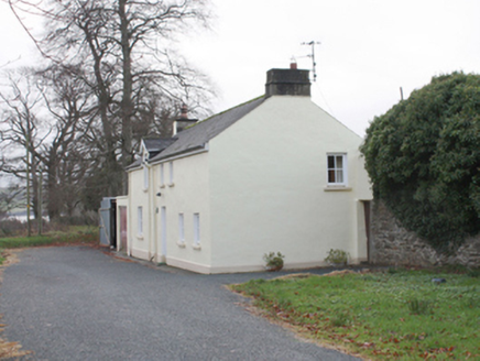
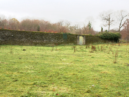
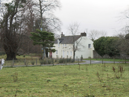
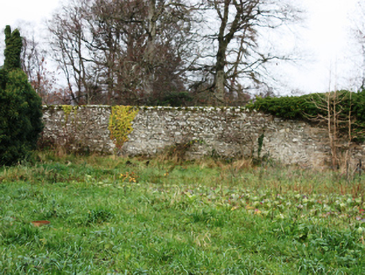
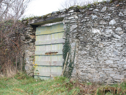
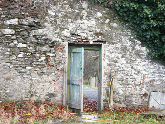
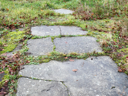
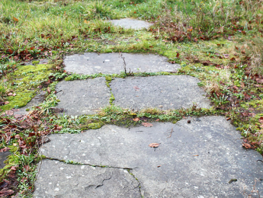
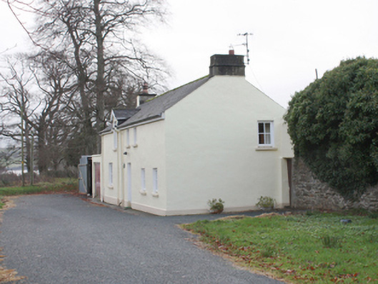
Walled garden associated with Castlegrove (see 40905409) on sub-rectangular plan having canted corner to the north, erected c. 1790. Now partially in use as farmland. High rubble stone boundary walls with rubble stone coping over with modern cement repairs in places. Integral square-headed pedestrian entrance to north-east with battened timber door and linear path consisting of square limestone paving. Square-headed vehicular entrance to north-east with battened timber double-doors. Detached four-bay two-storey gardener’s cottage to north, with pitched artificial slate roof with replacement fascia, soffit and rainwater goods, and rendered chimneystacks to gables. Painted rendered walls with plinth course. Square-headed window openings with replacement windows and painted stone sills. Square-headed door opening with replacement timber door. Located to the south-west of Castlegrove, and to the north-east of Letterkenny a short distance to the west of the shores of Lough Swilly.
Appraisal
This substantial former walled garden complex retains its early form and character, and forms part of a group of structures associated with Castlegrove (see 40905409). The simple but well-built boundary walls survive in relatively good condition with the unrefined rubble stone construction indicative of the original utilitarian uses. The simple entrances to site add some interest to the blank boundary walls. The scale of this walled garden provides an interesting historical insight into the resources required to run and maintain a large country estate in Ireland during the nineteenth century. The survival of a large but altered probable former gardener’s house to the north of the garden adds to the historic setting and context, and completes this composition.