
Survey Data
Reg No
40904724
Rating
Regional
Categories of Special Interest
Architectural, Social
Original Use
Mill (water)
In Use As
Outbuilding
Date
1820 - 1860
Coordinates
239330, 421358
Date Recorded
21/10/2008
Date Updated
--/--/--
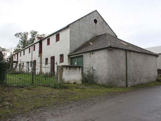
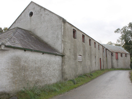
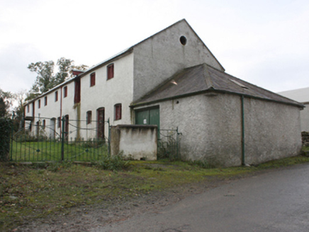
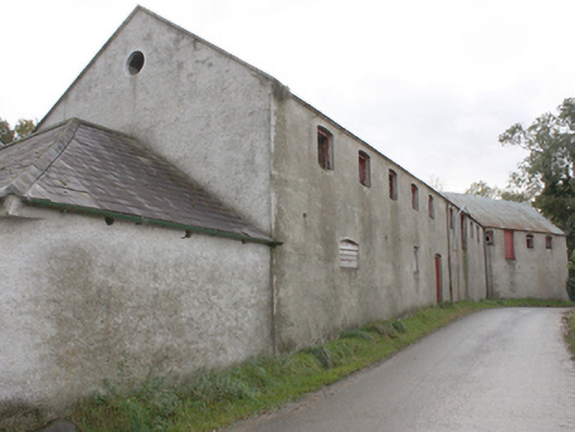
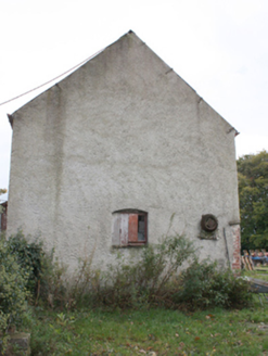
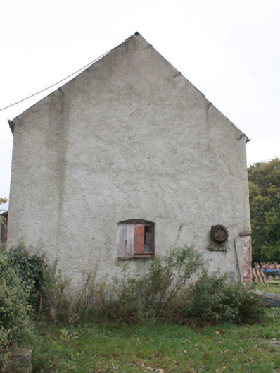
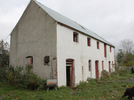
Description
Detached thirteen-bay two-storey former mill building, built c. 1840, on a cranked plan, with single-storey shed to west gable, now in use as a farm outbuilding. Pitched corrugated metal roof, hipped slate roof to shed, with cast-iron rainwater goods. Roughcast rendered walls with red brick eaves details. Segmental-headed window openings with timber framed windows and timber shutters and oculus to first floor west gable. Segmental-headed and square-headed door openings with matchboard timber doors.
Appraisal
A good example of a mid-nineteenth century mill building, now in use as a hay shed. The Ordnance Survey first edition six-inch map of c. 1837 shows an earlier, much smaller, corn mill on this site which on that map is called Bridge Town. The mill race was used to power both this mill and a smaller flax (409047025) to the south-west.