


Survey Data
Reg No
40903910
Rating
Regional
Categories of Special Interest
Architectural, Technical
Original Use
Bridge
In Use As
Bridge
Date
1780 - 1820
Coordinates
247366, 427945
Date Recorded
17/10/2000
Date Updated
--/--/--
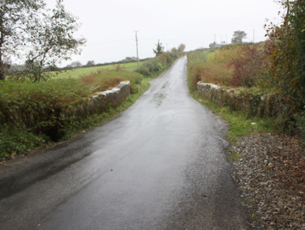
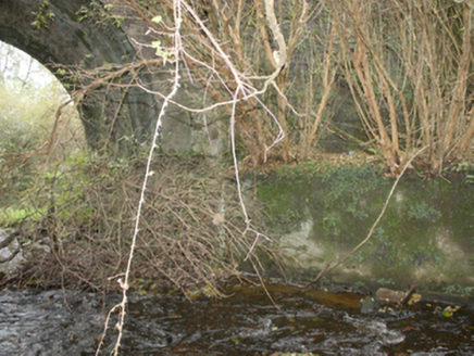
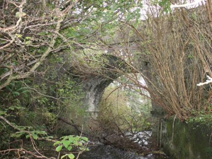
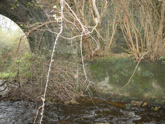
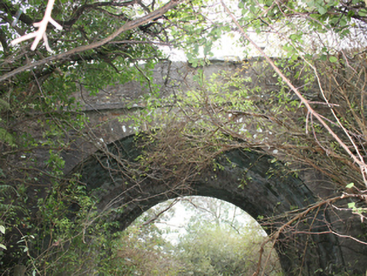
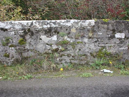
Description
Single-arch road bridge over stream, built c. 1800. Round-headed arch with cut stone voussoirs, rubble stone piers and stone stringcourse. Rubble stone parapet with squared stone coping, rendered in places and with stringcourse to deck level. Stream partly canalised with rendered retaining wall to west bank. Double carriageway with tarmacadam deck.
Appraisal
A handsome bridge with good architectural detailing including cut stone voussoirs and stringcourses. Although crossing a fairly minor stream, a bridge of this scale was required to maintain the level of the road. Its continued use is testimony to its engineering and construction. A number of tuck and flax mills are marked just downstream of the bridge on the Ordnance Survey first edition six-inch map of c. 1837.