Survey Data
Reg No
40903829
Rating
Regional
Categories of Special Interest
Architectural, Technical
Original Use
Bridge
In Use As
Bridge
Date
1770 - 1830
Coordinates
240395, 424259
Date Recorded
19/11/2008
Date Updated
--/--/--
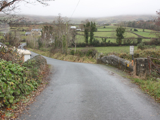
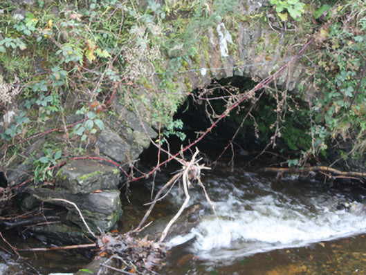
Description
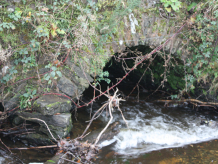
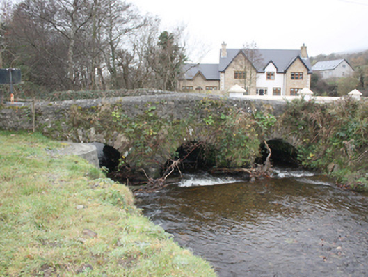
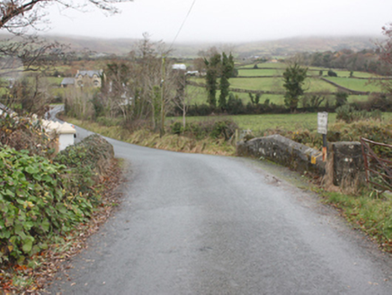
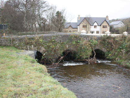
Triple-arch road bridge over Burnfoot River, built c. 1800. Three round-headed arches, dressed squared rubble stone voussoirs, V-shaped rubble stone cutwaters to east side. Random coursed rubble stone spandrels and hump-back parapets, partly cement rendered to east side, saddle-backed cement rendered coping to parapets. Tarmac double carriageway.
Appraisal
This attractive stone bridge is a picturesque landmark in its surrounding rural landscape. Its good quality masonry is enhanced by the fine voussoirs of its arches and its hump-back parapets which create an elegant and attractive visual impact. This bridge has preserved its original fabric and is still fulfilling its original function, and thus attests to the quality of its construction and engineering. It is marked but not named on the Ordnance Survey first edition six-inch map, surveyed in 1833.