

Survey Data
Reg No
40903111
Rating
Regional
Categories of Special Interest
Architectural, Technical
Original Use
Bridge
In Use As
Bridge
Date
1740 - 1800
Coordinates
255605, 435331
Date Recorded
18/10/2008
Date Updated
--/--/--
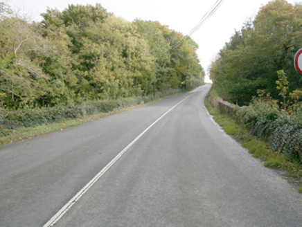
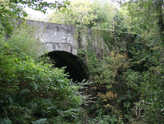
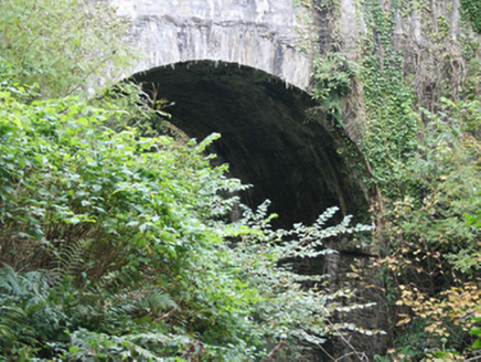
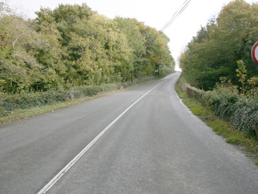
Description
Double-arch road bridge over river, built c. 1770. Round-headed arches with squared rubble voussoirs and squared rubble soffits. Squared coursed parapet walls, random rubble stone to inside parapet walls with vertically standing coping stones. Double carriageway to tarmac deck. Located north of Red Castle.
Appraisal
An attractive bridge, which is much enhanced by the quality craft employed, particularly in its finely executed cut voussoirs. This bridge constitutes an integral part of the area's historic environment and complements its rural setting. After over two centuries, its continued use is testament to its design and construction. It is shown on the Ordnance Survey first edition six-inch map of c. 1837.