
Survey Data
Reg No
40903107
Rating
Regional
Categories of Special Interest
Architectural, Technical
Original Use
Bridge
In Use As
Bridge
Date
1780 - 1820
Coordinates
253934, 434072
Date Recorded
18/10/2008
Date Updated
--/--/--
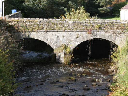
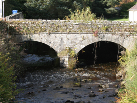
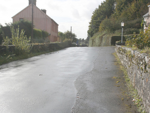
Description
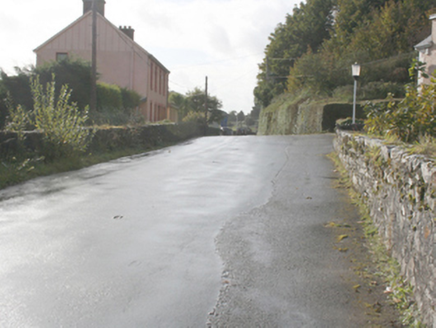
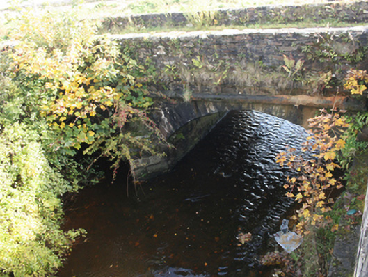
Double-arch road bridge over the River Drung, built c. 1800. Segmental-headed arches with large cut stone voussoirs, v-cutwaters, squared random rubble walls below deck level. Random rubble parapet walls with flat coping stones, stringcourse to deck level. Double carriageway to deck. Located to south-west of Redcastle.
Appraisal
The simple elegant form of this road bridge is much enhanced by the contrast between random rubble stone walls and finely executed cut stone voussoirs, giving textural interest to the structure. Although a larger modern road bridge has been built along side, it does not distract from the significance and importance of this finely crafted bridge. It is a reminder of the pride and craftsmanship employed in such endeavours in the early nineteenth century. The bridge is shown on the Ordnance Survey first edition six-inch map of c. 1837.