


Survey Data
Reg No
40903007
Rating
Regional
Categories of Special Interest
Architectural, Technical
Original Use
Bridge
In Use As
Bridge
Date
1760 - 1800
Coordinates
251413, 431368
Date Recorded
25/10/2008
Date Updated
--/--/--
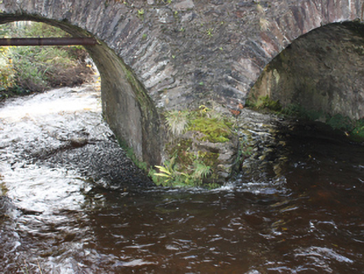
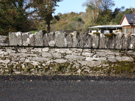
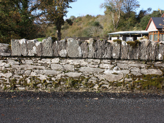
Description
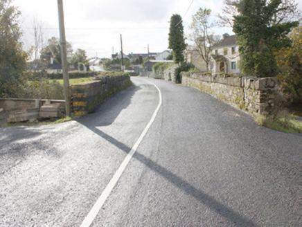
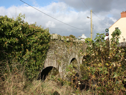
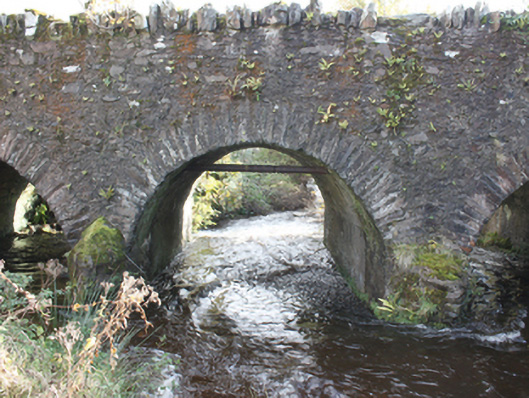
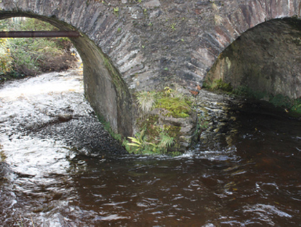
Triple-arch road bridge spanning the Cabry River, built c. 1780. Round-headed arches with dressed stone voussoirs and smooth rendered soffit. Rubble stone piers with triangular cut-waters to both sides. Rubble stone parapet with rubble stone coping. Double carriageway paved with tarmacadam.
Appraisal
A simple, attractive bridge with fine masonry skills evident in its construction. An extensive mill area is shown on the Ordnance Survey first edition six-inch map of c. 1837 with a corn mill, mill stream and pond, just to the south of the bridge, which no doubt required a good road network for trade. After two centuries of use, its continued use is testament to its design and solid construction.