

Survey Data
Reg No
40903002
Rating
Regional
Categories of Special Interest
Architectural, Technical
Original Use
Bridge
In Use As
Bridge
Date
1830 - 1870
Coordinates
245215, 433777
Date Recorded
25/10/2008
Date Updated
--/--/--
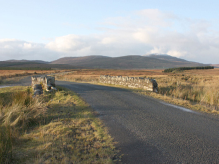
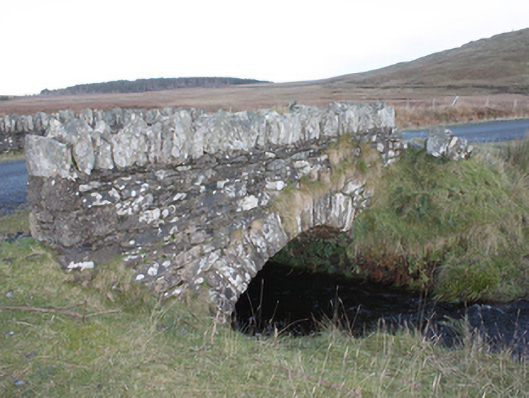
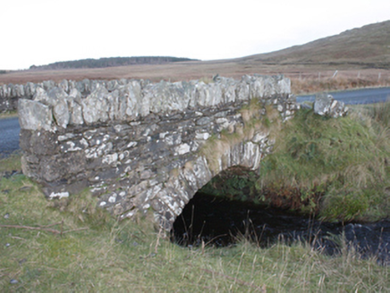
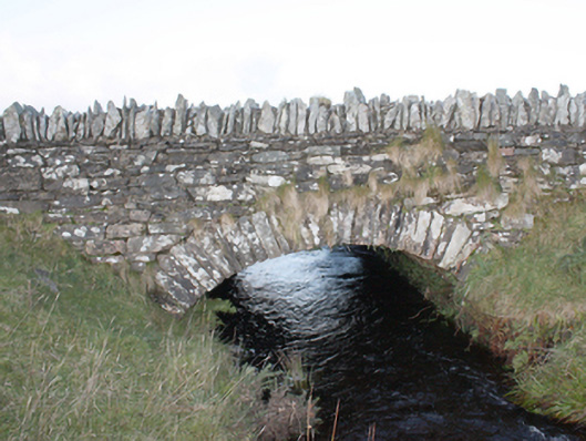
Description
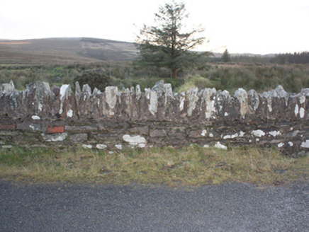
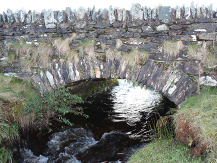
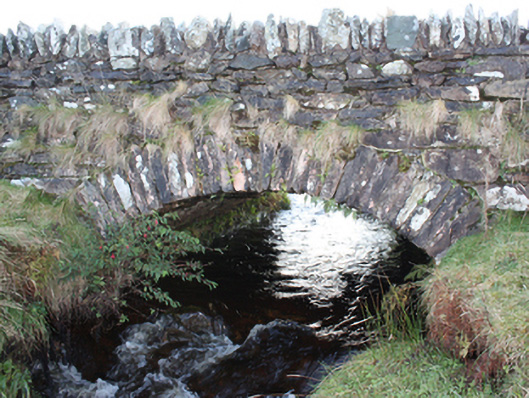
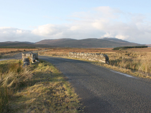
Single-arch road bridge, built c. 1850, spanning Meenatomish River. Round-headed arch with roughly squared rubble stone voussoirs, rubble stone piers. Limestone rubble stone parapet with occasional red brick inclusions and rubble stone coping. Deck paved with tarmacadam.
Appraisal
A simple mid-nineteenth century bridge, possibly built as a Famine relief scheme, as not shown on Ordnance Survey first edition six-inch map of c. 1837. Its rustic quality enhances its setting in a spectacular landscape.