

Survey Data
Reg No
40901217
Rating
Regional
Categories of Special Interest
Architectural, Technical
Original Use
Bridge
In Use As
Bridge
Date
1780 - 1820
Coordinates
254443, 443494
Date Recorded
24/09/2008
Date Updated
--/--/--
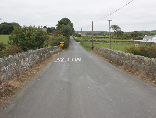
Description
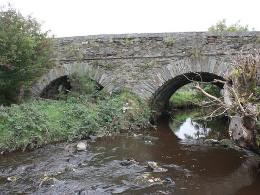
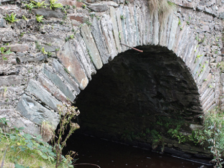
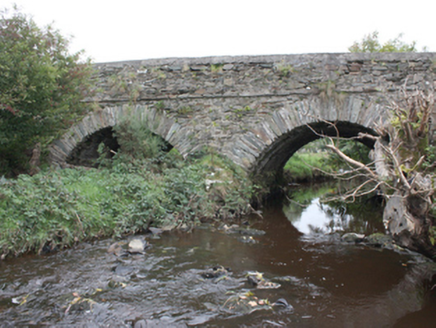
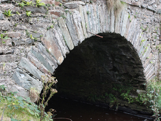
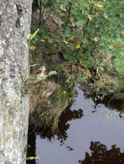
Double-arch road bridge over the Gleneely River, built c. 1800. Segmental arches with roughly squared rubble stone voussoirs. Random rubble to vaults. Rubble stone triangular cutwaters. Random rubble walls with stringcourse at deck level. Random rubble walls to parapets with smooth rendered coping. Double carriageway with tarmac to deck.
Appraisal
A simple, attractive bridge with fine masonry skills evident in its construction. It is similar in style to other bridges in the area including Moglass Bridge (40901229), Ballintroohan Bridge (40901221), Drumnagassan Bridge (40901237) and thus constitutes an important part of the area's historic environment. An extensive milling complex is depicted on the Ordnance Survey first edition six-inch map of c. 1837 with a corn mill, kiln, mill stream and pond, just to the south of the bridge, which no doubt required a good road network for trade. After two centuries of use, its continued use is testament to its design and construction.