


Survey Data
Reg No
40900209
Rating
Regional
Categories of Special Interest
Architectural, Technical
Original Use
Bridge
In Use As
Bridge
Date
1850 - 1870
Coordinates
243425, 455560
Date Recorded
14/10/2008
Date Updated
--/--/--
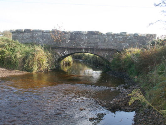
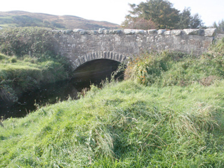
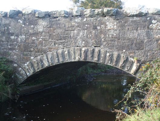
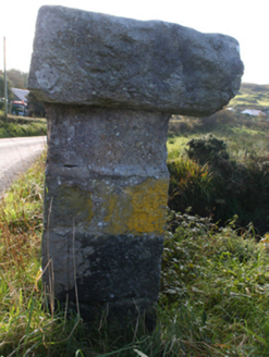
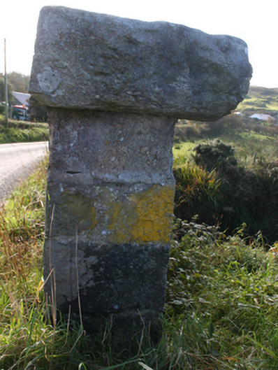
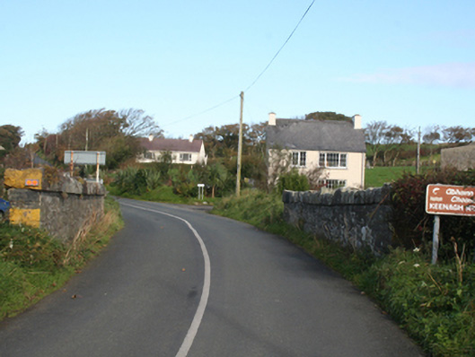
Description
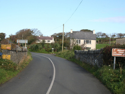
Single-arch bridge carrying road over the Keenagh River, built c. 1860. Squared random coursed limestone construction to parapets and spandrels, roughly dressed random rubble stone coping to parapets. Segmental-headed arch with roughly dressed rock-faced voussoirs, and with roughly squared rubble stone construction to arch barrel. Double carriageway with tarmacadam deck. Located to the south-east of Malin Head, and to the north-west of Malin town.
Appraisal
This simple but appealing small-scale bridge retains its early character and form, and is an appealing feature in the scenic rural landscape to the north-west of Malin town. It is robustly-constructed in good quality squared local rubble stone masonry, and its continued survival stands as testament to the quality of its original construction, and of the skill of the masons involved. A bridge is depicted on the Ordnance Survey first edition six-inch map of the area, c. 1836. However, this appears to be a different form with refuges to either side, suggesting that this bridge is a later replacement. Indeed the good-quality rock-faced voussoirs to the arch a feature found at the many bridges that were built or altered by the Board of Works during the mid-to-late nineteenth century, and particularly between c. 1847 - 60, suggesting that this bridge may have been built or altered around this time. This appealing rustic bridge is an attractive feature in the landscape to the north end of Inishowen, and is an integral element of the built heritage of the local area.