


Survey Data
Reg No
40843011
Rating
Regional
Categories of Special Interest
Architectural, Technical
Original Use
Bridge
In Use As
Bridge
Date
1840 - 1870
Coordinates
192117, 378174
Date Recorded
11/09/2007
Date Updated
--/--/--
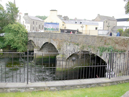
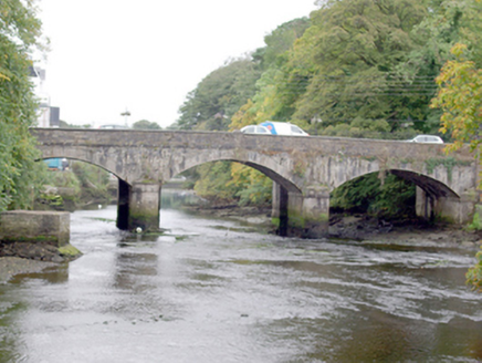
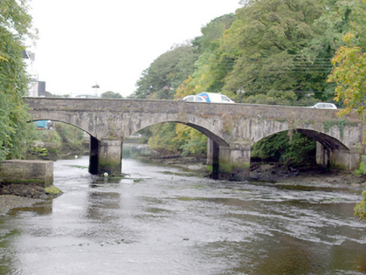
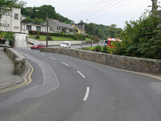
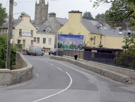
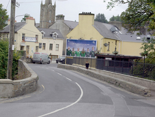
Description
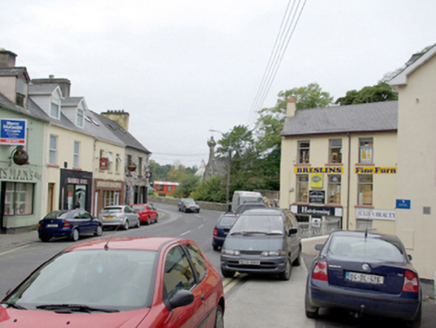
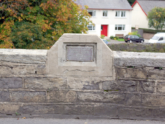
Three-arch road bridge over the River Eske, built c. 1855, having footpath extension to the south elevation, added c. 1975. Segmental-headed arches having dressed cut stone voussoirs to arches, and having ashlar construction to piers with ashlar cutwaters (on semi-circular plan) having rounded cut stone coping over, and ashlar stringcourse at arch springing point level, running under arch barrels. Ashlar construction to arch barrels and spandrels. Cut stone stringcourse at road deck level. Roughly squared and coursed stone construction to parapets having cut stone coping over. Metal memorial plaque to the centre of the north parapet commemorating Revd. John Boyce, died 1864. Concrete beams, supports and spans to extension to the south elevation having modern rendered parapet wall with metal railings over. Located to the west end of Donegal Town, a short distance to the north-west of The Diamond. River Eske flows into Donegal Bay a short distance to the south/south-west of the bridge.
Appraisal
This elegant bridge, of mid-nineteenth-century appearance, retains much of its original character and form despite the construction of a modern pedestrian extension to the south elevation. It is well-built using predominantly high quality ashlar masonry that is testament to the skill of the masons involved in its construction. The low graceful segmental arches give this bridge a vaguely Italianate architectural character, while the stringcourses add an element of decorative interest to the main elevations. The simple memorial plaque to the northern parapet commemorates Revd. John Boyce (1810 – 1864), a priest who was born in Donegal but moved to the United States in 1845, where he served until his death. Boyce was also a noted novelist (under the assumed name of ‘Paul Peppergrass’) and a lecturer. The present bridge replaced an earlier six(?)-arch bridge (DG093-013009-), which was located adjacent to the north-east of the present structure. Both bridges appear to have co-existed for a period c. 1860 (earlier bridge indicated as ‘old bridge’ on the Griffiths Valuation map, c. 1860). The location of this earlier bridge adjacent to Donegal Castle suggests that the earlier bridge(s) may have dated to pre-1700 period. The present bridge still serves as an important river crossing carrying the main approach road into the town from the west, and is an integral element of the built heritage of the town.