


Survey Data
Reg No
40801002
Rating
Regional
Categories of Special Interest
Architectural
Original Use
Gates/railings/walls
Date
1840 - 1900
Coordinates
247212, 450052
Date Recorded
11/10/2008
Date Updated
--/--/--
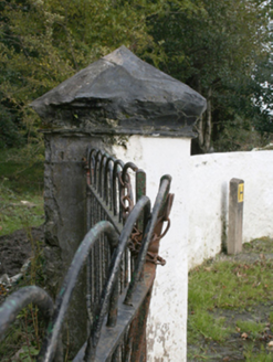
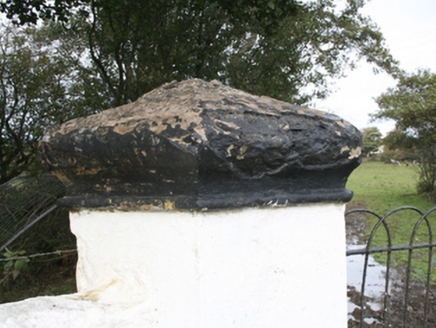
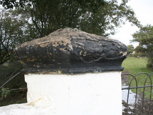
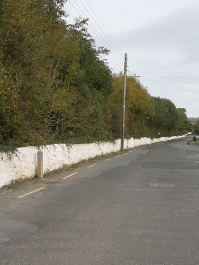
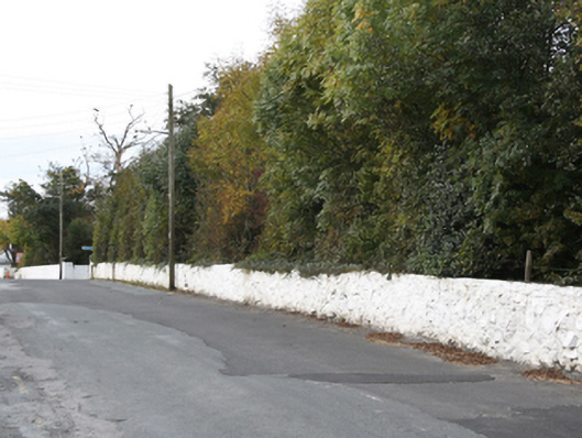
Description
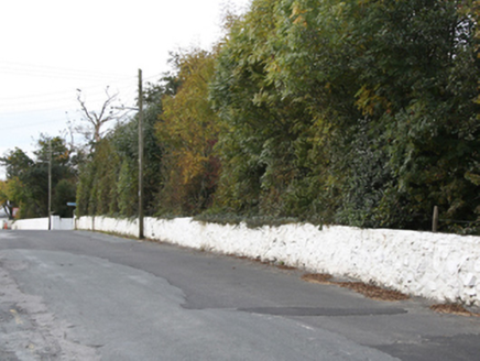
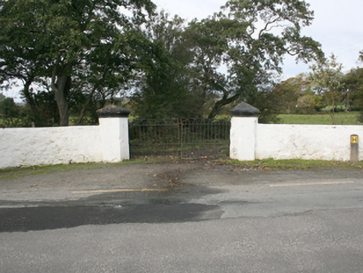
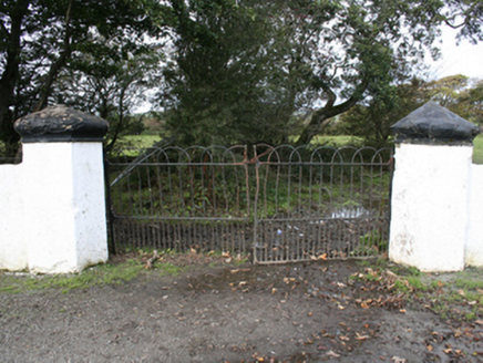
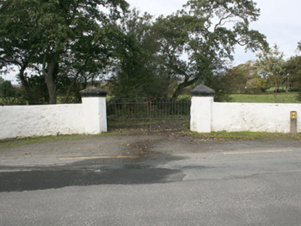
Gateway (now disused) and boundary wall serving Rockville House (see 40801001), erected. 1860, comprising a pair of smooth rendered random rubble gate piers (on polygonal-plan) having moulded render capping over, and with a pair of hooped wrought-iron gates. Whitewashed random rubble stone wall to east of gateway with rendered coping over to sections. Gateway located to the south-west of Rockville House, and to the east of Malin.
Appraisal
This gateway and boundary wall constitute an important part of the architectural heritage of the associated Rockville Demesne (see 40801001). Although the pier to the east of the gateway appears to have been partially rebuilt, the gateway is of distinction with distinctive polygonal piers, and the fine moulded detail give it a great deal of character and interest. The survival of the attractive hooped wrought-iron gates gives further interest to the piece, whilst the rubble stone boundary walls, an integral part of the demesne, complete the setting and context of this composition, which is an attractive feature along the roadscape to the east of Malin. This gateway appears to date to the second half of the nineteenth century, the original main gateway being located to the north-west of the house (see Ordnance Survey first edition six-inch map of 1837), which is still in use as the main access to the house.