


Survey Data
Reg No
40403901
Rating
Regional
Categories of Special Interest
Architectural, Technical
Original Use
Bridge
In Use As
Bridge
Date
1780 - 1820
Coordinates
256664, 290163
Date Recorded
18/06/2012
Date Updated
--/--/--
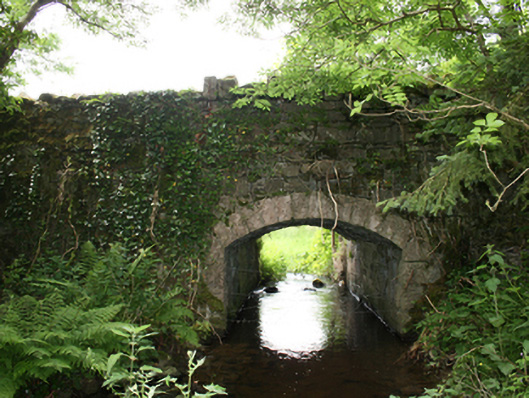
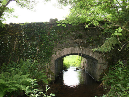
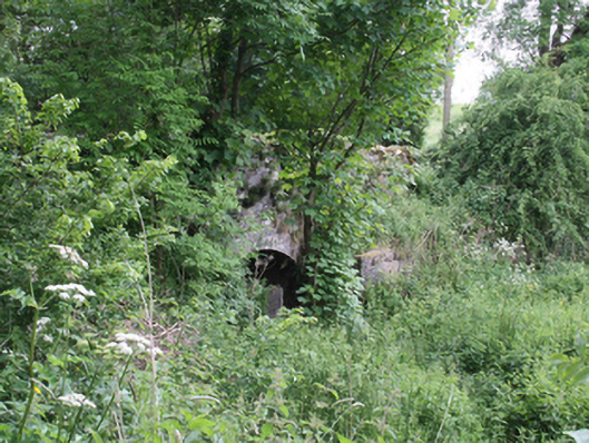
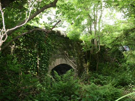
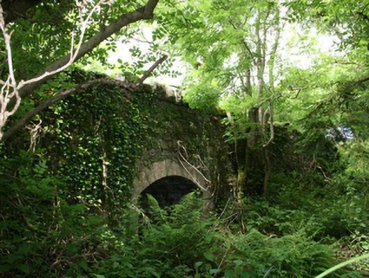
Description
Single-span segmental-arched sandstone road bridge, built c.1800, over watercourse, with overgrown mill pond to west. Gently sloping deck with random rubble stone parapets, spandrels, and wing walls having Scotch coping. Arched opening formed of punched ashlar voussoirs over dressed corner blocks. Rubble stone soffit and abutments. Walls overgrown with vegetation.
Appraisal
A well-composed bridge with an elegant cut-stone arch set in robust rubble elevations, forming a contrast of high aesthetic quality. Though overgrown, the bridge is very much intact and retains all of its original materials. Historically associated with a mill pond, a mill race, a former flax mill, and a long-demolished corn mill along the stream, the bridge is part of a wider ensemble of structures of industrial heritage interest. Historic Ordnance Survey maps indicate the presence of a holy well to the south-east of the bridge.