


Survey Data
Reg No
40402302
Rating
Regional
Categories of Special Interest
Architectural, Technical
Original Use
Bridge
In Use As
Bridge
Date
1830 - 1870
Coordinates
265751, 310342
Date Recorded
01/08/2012
Date Updated
--/--/--
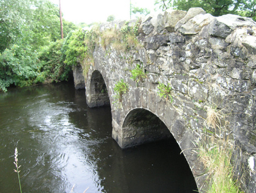
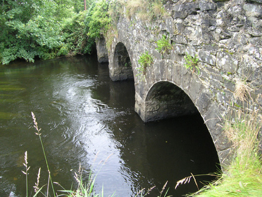
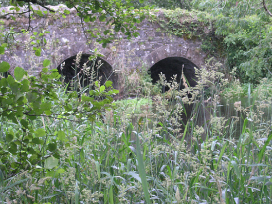
Description
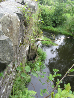
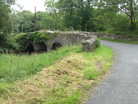
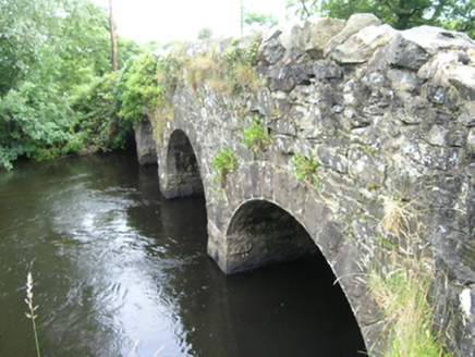
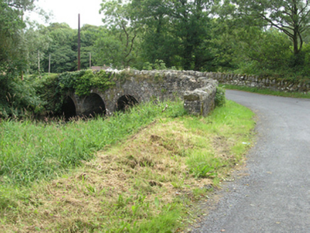
Four-arch masonry humped deck road bridge, built c.1850, spanning Annalee River, with angled approach roads. Roughly-coursed rubblestone parapets with Scotch copings. Spandrels of random rubble stone and rock faced even voussoirs to equal-sized round arches. Rubble stone soffit over rock-faced abutments with uncapped cutwaters of dressed stone to west elevation. Wide wings to each side of bridge. West face largely concealed with foliage.
Appraisal
This bridge replaced an earlier structure, which was constructed at an angle to the river and in line with the approach road. A mill complex once stood to the north, and its millrace ran close to the north-east side of the bridge. It is a well composed structure with a striking contrast created by the quarry faced ashlar voussoirs, piers, and cutwaters, and the roughly coursed rubble stone parapets and wings. The bridge has a strong presence in the surrounding rural landscape, with its elevations presented to the traveller from the angled approach roads.