

Survey Data
Reg No
40401908
Rating
Regional
Categories of Special Interest
Architectural, Technical
Original Use
Bridge
In Use As
Bridge
Date
1820 - 1860
Coordinates
226259, 304343
Date Recorded
14/06/2012
Date Updated
--/--/--
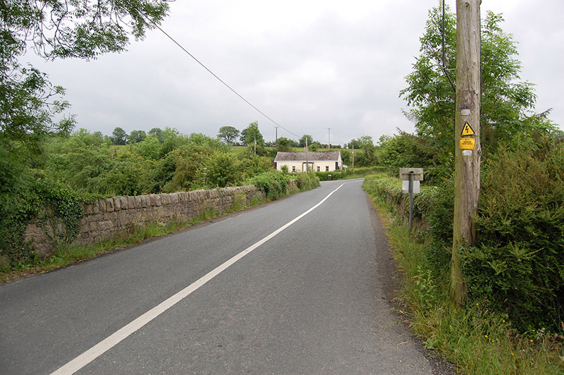
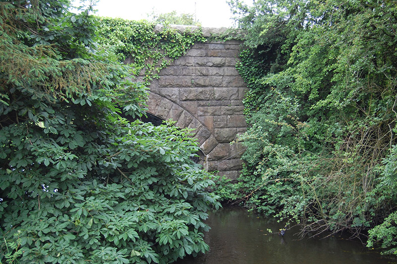
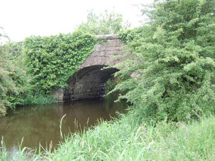
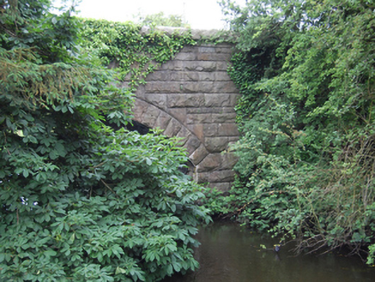
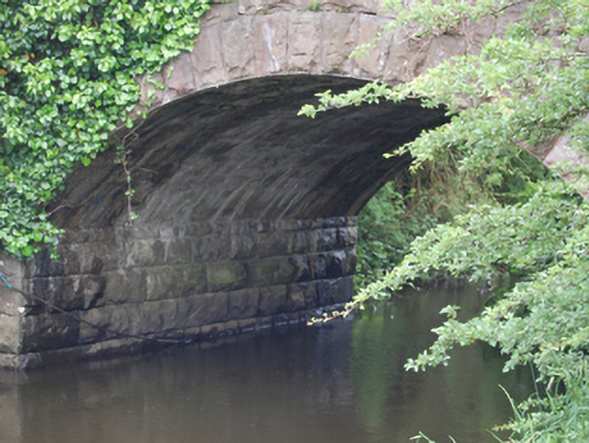
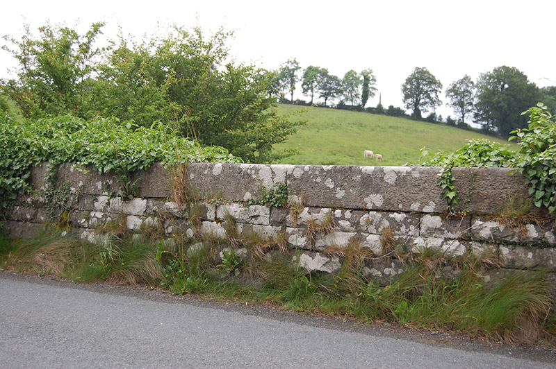
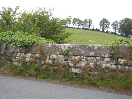
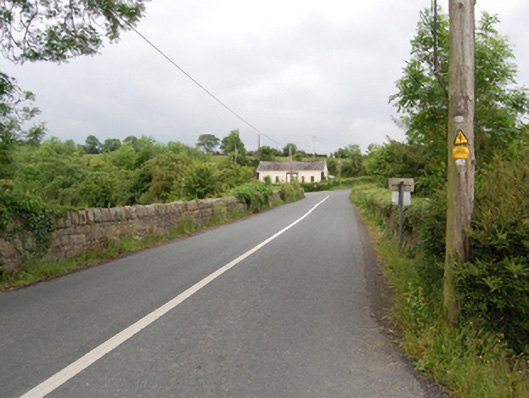
Description
Single-arch masonry road bridge spanning a watercourse between Glasshouse Lake and Rockfield Lough, built c.1840. Rock-faced ashlar stone abutments, rock-faced ashlar voussoirs with dressed arrises to segmental arch rings, rendered soffit. Rock-faced spandrels, parapet and coping of large projecting stones. Squared rubble stone wing walls with cut stone coping, two buttresses to north side of western approach.
Appraisal
A well-executed stone bridge of simple and functional design. The stonework elevates the simple design with an attractive textural contrast achieved between the rock-faced ashlar and the lines of the arch and projecting coping. Spanning the boundary to Co. Leitrim, Killbracken Bridge is shown on the Ordnance Survey map of 1836, and the Cavan Grand Jury sought funding for a road between it and Killeshandra in 1837. The present bridge appears to be of later nineteenth-century construction, possibly rebuilt by the Board of Works as part of arterial drainage improvements, but may retain wings from the earlier structure.