

Survey Data
Reg No
40401905
Rating
Regional
Categories of Special Interest
Architectural, Technical
Original Use
Bridge
In Use As
Bridge
Date
1875 - 1880
Coordinates
231397, 308797
Date Recorded
19/07/2012
Date Updated
--/--/--
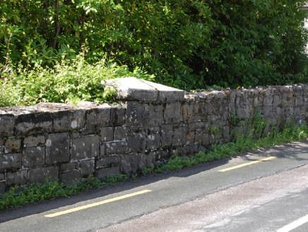
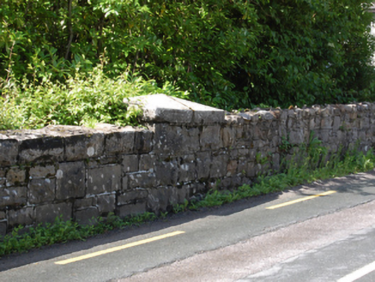
Description
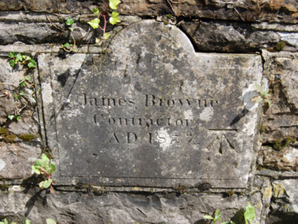
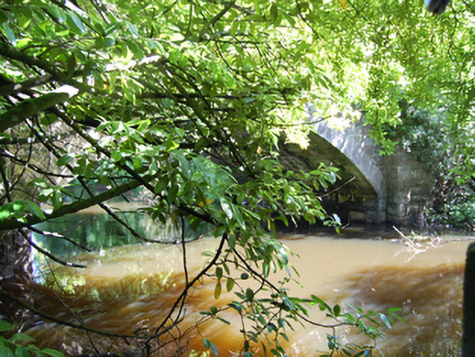
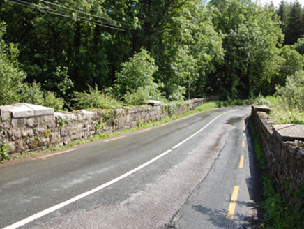
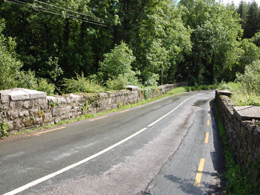
Single-arch stone road bridge, built 1877, spanning watercourse connecting Town Lough and Tullyguide Lough. Cut-stone abutments and voussoirs to semi-circular arch rings, squared rubble stone to soffit. Cut-stone spandrels and flanking piers. Squared rubble-stone parapet walls with squared coping and dressed pyramidal capstones to piers. Plaque with inscription 'James Browne Contractor AD 1877' and bench mark to east parapet wall. Rubble-stone wingwalls. Access to river bank through wrought-iron gate flanked by cut-stone piers.
Appraisal
A well composed bridge that exhibits good stone craftsmanship particularly in the construction of the cut-stone voussoirs and dressed capstones. The plaque adds historical and social context to the site, while the benchmark is of technical interest for its connections with cartography and the preparation of the Ordnance Survey. The bridge replaced an earlier bridge of the same name shown on the Ordnance Survey map of 1836.