

Survey Data
Reg No
40401112
Rating
Regional
Categories of Special Interest
Architectural, Scientific
Original Use
Coaching inn
In Use As
House
Date
1780 - 1820
Coordinates
241544, 316980
Date Recorded
13/06/2012
Date Updated
--/--/--
Description
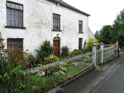
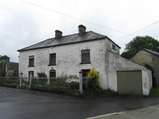
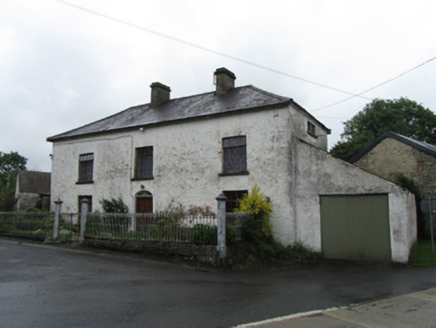
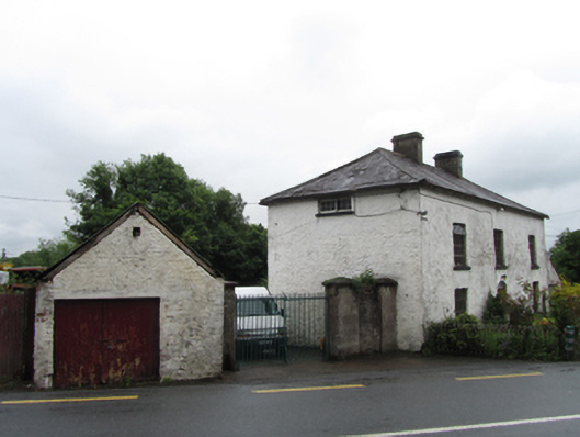
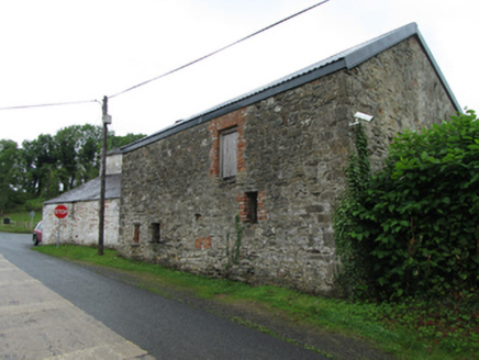
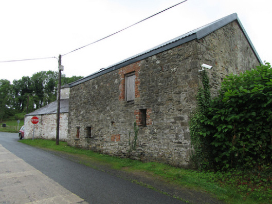
Detached three-bay two-storey with half-dormer attic house, built c.1800, with single-storey lean-to to south gable. Hipped slate roof, clay ridge tiles, pair of ashlar chimneystacks flanking central bay, and cast-iron rainwater goods. Rendered rubble stone walls. Widely spaced replacement top-hung timber casement windows. Horizontal attic windows below eaves to side elevations, with historic multipane sash window to north side. Central elliptical-headed entrance, with historic shallow spoked fanlight over replacement timber panelled door. Replacement timber garage door to single-storey lean-to. Interior shallow hall space with single-flight stairs arranged parallel to main elevation, stairs continue into attic space. Bounded to roadside on three sides by cast-iron railings having anthemion finials on low profiled stone plinth wall, with double-leaf decorative cast-iron gates flanked by tall octagonal-profile piers with pointed profiled caps, corners marked by similar posts. Double-leaf forged-iron yard gates to north of house in tall square-profile stone piers. Single- and two-storey rubble stone outbuildings to rear arranged around yard.
Appraisal
An eyecatching roadside building, prominently sited at a crossroads, that played a significant role social role as an inn, bakery, and smithy. These functions were augmented by a public house that was located on the corner site to the south. The house has an attic level that is reached by the main stairs, and results in the raised eaves of the front elevation above the first floor windows which lend an imposing character to the front elevation. The survival of historic features including the north elevation sash windows, shallow fanlight, and cast-iron railings adds to its character and charm. The former importance of this crossroads is indicated on the Ordnance Survey map of 1836 map which shows buildings on the corners sites to the west.