


Survey Data
Reg No
32007124
Rating
Regional
Categories of Special Interest
Architectural, Technical
Original Use
Weir
Date
1830 - 1850
Coordinates
169157, 336008
Date Recorded
06/08/2004
Date Updated
--/--/--
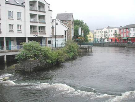
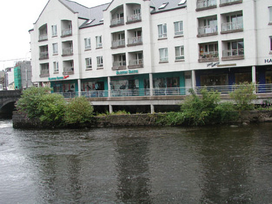
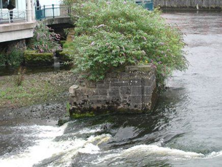
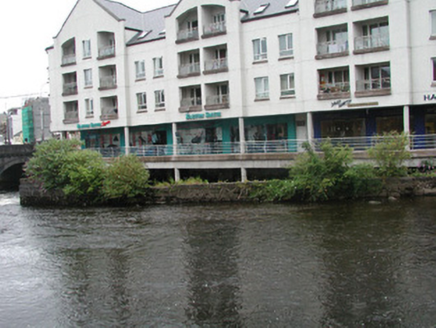
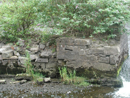
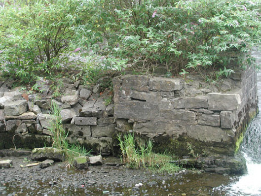
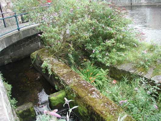
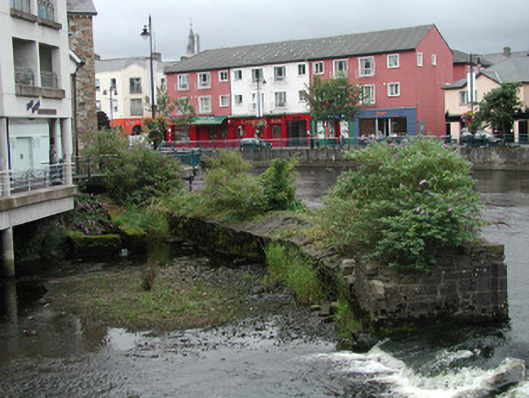
Description
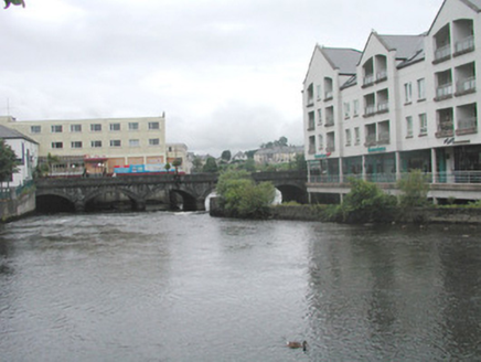
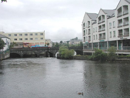
Section of stone breakwater wall, built c. 1840, on east bank of Garavogue River. Comprising squared limestone to river elevation and rubble stone to land elevation, dressed stone coping. Enclosing culverted stream to east with squared limestone retaining walls. Incised vertical channels on north end may have housed sluice gates. Located to south of Hyde Bridge.
Appraisal
This structure relates to an era when river management, particulary in connection with commercial shipping, was important.