


Survey Data
Reg No
31906003
Rating
Regional
Categories of Special Interest
Architectural, Technical
Original Use
Quay/wharf
In Use As
Quay/wharf
Date
1800 - 1820
Coordinates
184745, 304033
Date Recorded
15/08/2003
Date Updated
--/--/--
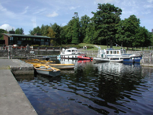
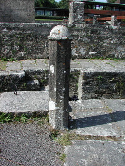
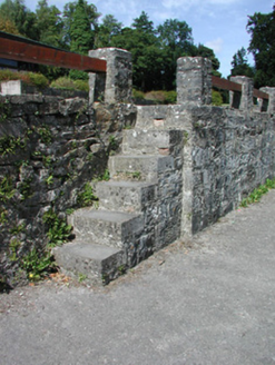
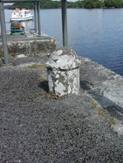
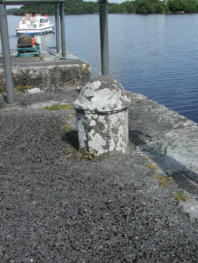
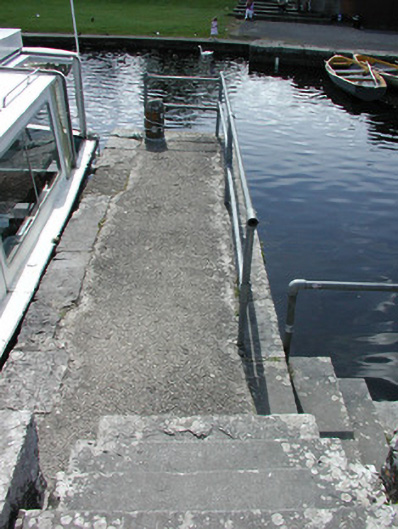
Description
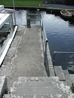
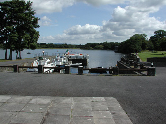
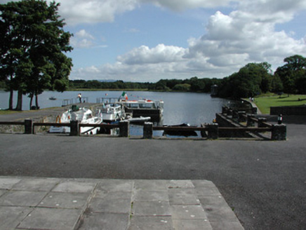
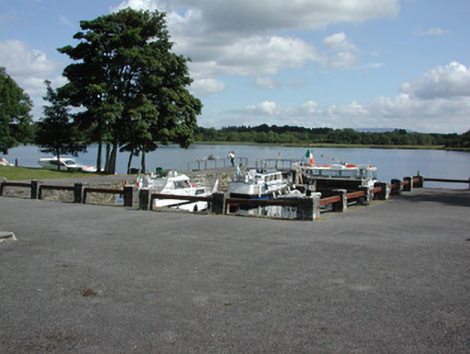
U-plan harbour on shore of Lough Key, built c.1810, with later section to the southern side of north quay. Harbour comprising stepped quays with random coursed limestone walls with cut limestone steps. Wrought-iron mooring posts and dressed octagonal mooring posts with domed caps. Bounded by modern railings.
Appraisal
This harbour, which is still in use, is located in an idyllic setting in the former grounds of Rockingham Demesne, although altered and extended over the years, still retains much of its original form and fabric and character. Located to the west of the former Rockingham House, it is an important element in the history of the demesne. Goods from the harbour were once transported to the house via a tunnel located a short distance to the west.