
Survey Data
Reg No
31906001
Rating
Regional
Categories of Special Interest
Architectural, Technical
Original Use
Quay/wharf
In Use As
Quay/wharf
Date
1800 - 1820
Coordinates
184979, 304081
Date Recorded
15/08/2003
Date Updated
--/--/--
Description
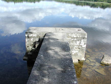
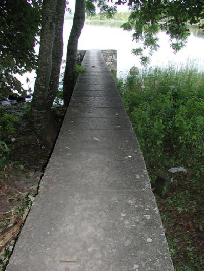
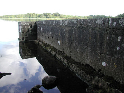
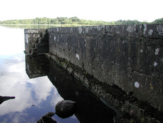
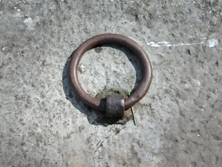
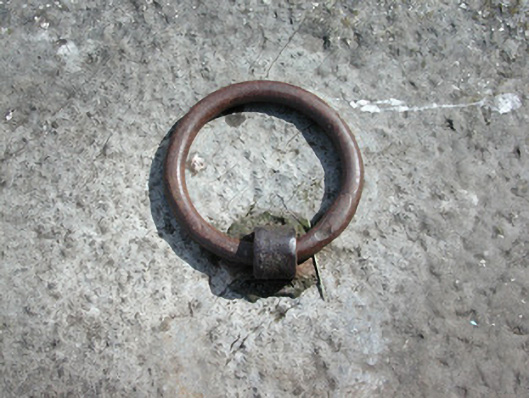
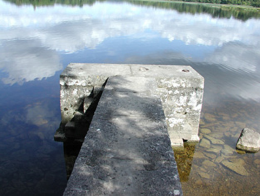
T-plan quay, built c.1810, comprising cut limestone roughly dressed quay set on plinth base terminating with cut stone steps to either side. Wrought-iron mooring rings to quay. Situated on southern shore of Lough Key.
Appraisal
This simple landing place is located in the former grounds of Rockingham Demesne, now Lough Key forest Park, on the southern shore of Lough Key. Its functional form is enhanced by its use of large limestone blocks which give it a robust quality. Its picturesque location, with views of the Temple to the west and Castle Island to the north, further enhance this idyllic setting.