
Survey Data
Reg No
31312319
Rating
Regional
Categories of Special Interest
Architectural, Scientific, Technical
Original Use
Bridge
In Use As
Bridge
Date
1855 - 1860
Coordinates
120453, 247749
Date Recorded
13/12/2010
Date Updated
--/--/--
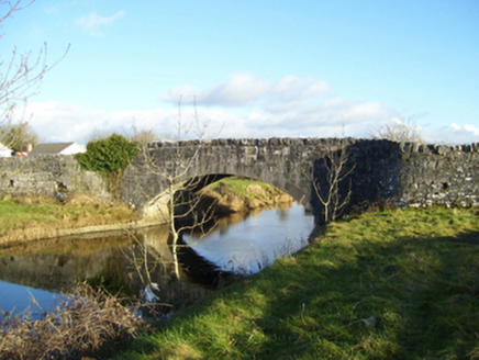
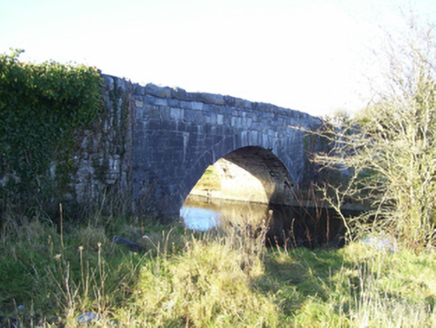
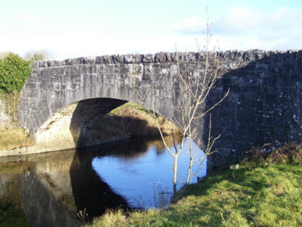
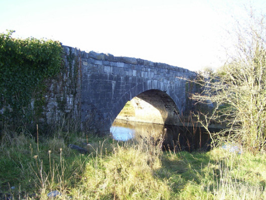
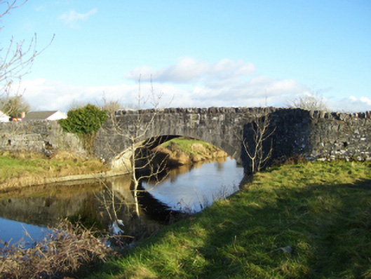
Description
Single-arch road bridge over river, built 1856. Part creeper- or ivy-covered tuck pointed snecked limestone walls with rock faced cut-limestone coping to parapets. Single segmental arch with drag edged tooled limestone ashlar voussoirs. Sited spanning Black River with unkempt grass banks to river.
Appraisal
A narrow bridge 'built by Grand Jury presentment' representing an integral component of the mid nineteenth-century civil engineering heritage of south County Mayo with the architectural value of the composition, one erected under the supervision of Samuel Ussher Roberts CE (1821-1900), District Engineer (appointed 1848; Twenty-Fifth Report 1856, 111), confirmed not only by the "sparrow pecked" sheer limestone dressings demonstrating good quality workmanship, but also by the elegant "sweep" of the arch making a pleasing visual statement at a crossing over the Black River: meanwhile, a discreet benchmark remains of additional interest for the connections with cartography and the preparation of maps by the Ordnance Survey (established 1824).