Survey Data
Reg No
31311105
Rating
Regional
Categories of Special Interest
Architectural, Scientific, Technical
Original Use
Bridge
In Use As
Bridge
Date
1850 - 1855
Coordinates
128676, 271655
Date Recorded
10/12/2010
Date Updated
--/--/--
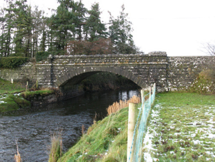
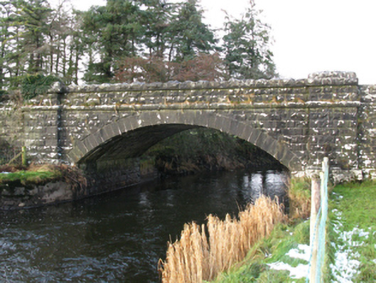
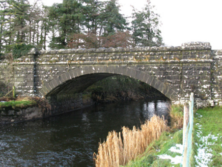
Description
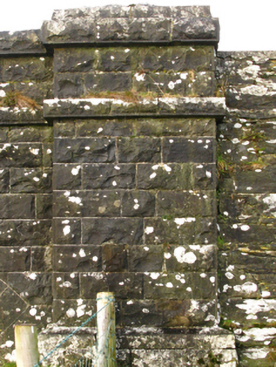
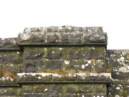
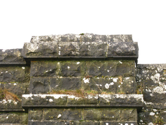
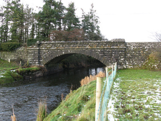
Single-arch road bridge over river, built 1852[?]; extant 1894. Part creeper- or ivy-covered tuck pointed rock faced limestone ashlar walls between drag edged rock faced limestone ashlar piers with drag edged rock faced cut-limestone stringcourses supporting parapets having drag edged rock faced cut-limestone coping. Single segmental arch with drag edged tooled limestone ashlar voussoirs. Sited spanning Robe River with unkempt banks to river.
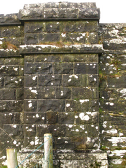
Appraisal
A bridge identified as an integral component of the mid nineteenth-century civil engineering heritage of south County Mayo with the architectural value of the composition, one recalling the nearby Hollybrook Bridge (see 31311104) and thereby suggesting a connection with the county-wide programme of famine relief drainage works completed under the Drainage (Ireland) Act, 1846, confirmed not only by the robust rock faced surface finish offset by "sparrow pecked" sheer limestone dressings demonstrating good quality workmanship, but also by the elegant "sweep" of the arch making a pleasing visual statement at a crossing over the Robe River: meanwhile, a discreet benchmark remains of additional interest for the connections with cartography and the preparation of maps by the Ordnance Survey (established 1824).