
Survey Data
Reg No
31310028
Rating
Regional
Categories of Special Interest
Architectural
Original Use
Walled garden
Date
1760 - 1837
Coordinates
123672, 274616
Date Recorded
07/03/2011
Date Updated
--/--/--
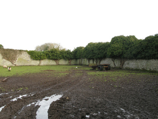
Description
Walled garden, extant 1838, with coursed rubble limestone boundary wall to perimeter having overgrown coping. Now disused. Set in unkempt grounds shared with Newbrook House.
Appraisal
A substantial, albeit neglected walled garden surviving as an interesting relic of the much diminished Newbrook House estate following the destruction (1837) of the adjacent country house (see 31310027) and its subsequent demolition by the Irish Land Commission (reconstituted 1923; Quinn 1996 III, 285).