


Survey Data
Reg No
31308919
Rating
Regional
Categories of Special Interest
Architectural, Historical, Scientific, Technical
Original Use
Church/chapel
Date
1840 - 1850
Coordinates
116452, 283566
Date Recorded
13/12/2010
Date Updated
--/--/--
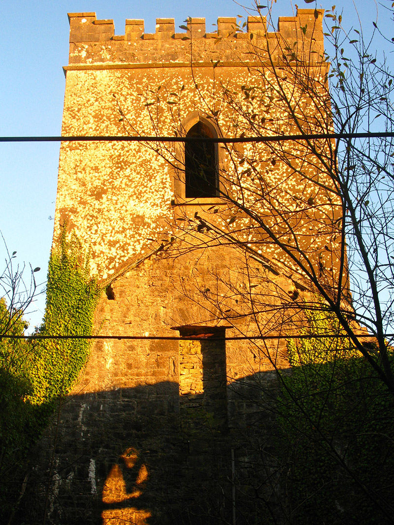
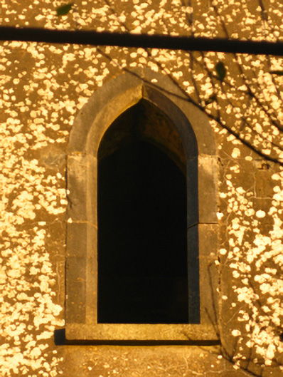
Description
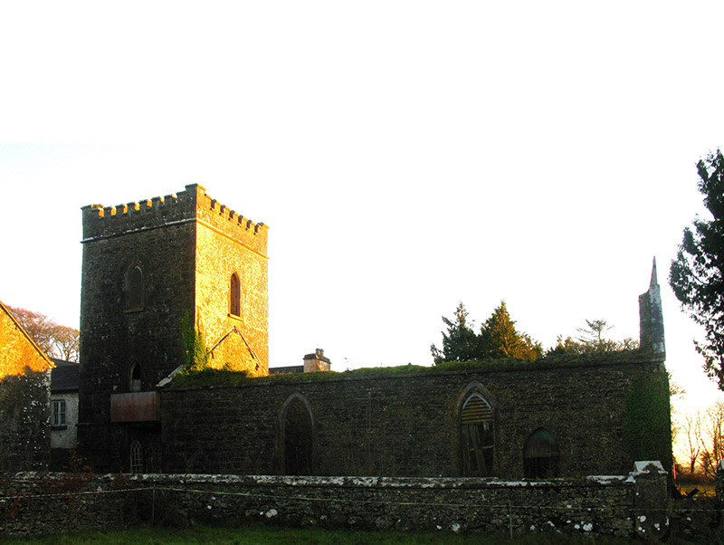
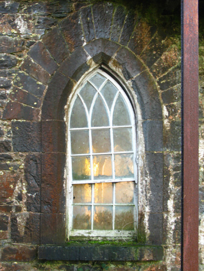
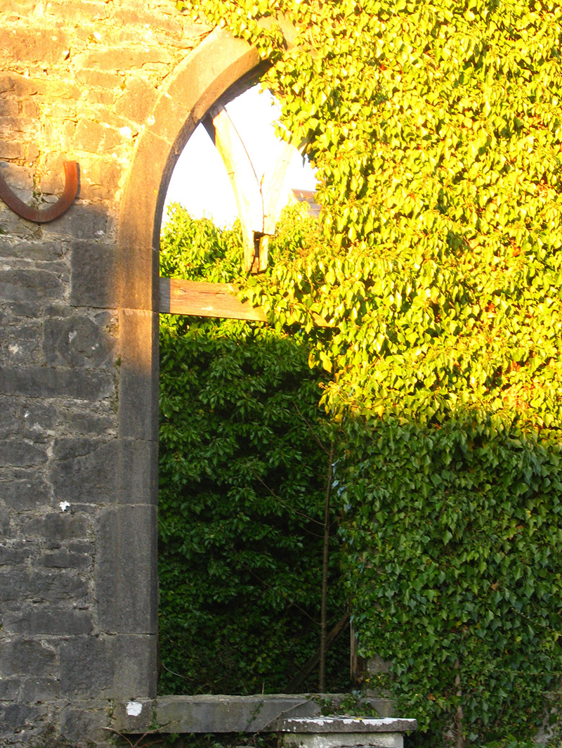
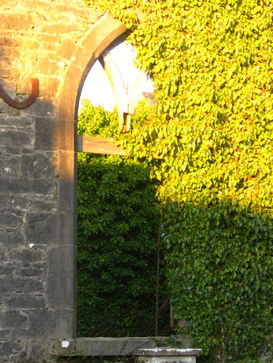
Attached two-bay double-height single-cell Catholic chapel, built 1845-7, on a rectangular plan; single-bay three-stage tower (east) on a square plan. Disused, 1923. Now in ruins. Pitched roof now missing, lichen-spotted cut-limestone coping to gables including lichen-spotted cut-limestone coping to gable (west) with Cross finial to apex, and remains of cast-iron rainwater goods on cut-limestone eaves retaining cast-iron hoppers with downpipes now missing. Part creeper- or ivy-covered coursed rubble limestone walls with tooled cut-limestone flush quoins to corners; coursed rubble limestone walls (tower) with lichen-covered dragged cut-limestone chamfered stringcourse supporting battlemented parapet having lichen-covered cut-limestone coping. Pointed-arch window openings with dragged cut-limestone sills, and cut-limestone surrounds having chamfered reveals framing remains of timber fittings. Pointed-arch window openings (tower) with dragged cut-limestone sills, and cut-limestone surrounds having chamfered reveals framing six-over-six timber sash windows having interlocking Y-tracery glazing bars. Pointed-arch openings (bell stage) with dragged cut-limestone sills, and cut-limestone surrounds having chamfered reveals framing louvered timber fittings. Interior in ruins. Set in grounds shared with Errew Monastery.
Appraisal
A chapel contributing positively to the group and setting values of the Errew Monastery complex with the architectural value of the composition confirmed by such attributes as the nave-with-tower plan form; the slender profile of the openings underpinning a stolid Georgian Gothic theme with those openings originally showing characteristic switch-track glazing patterns; and the monolithic battlements embellishing the tower as a picturesque eye-catcher in the landscape: meanwhile, a benchmark remains of additional interest for the connections with cartography and the preparation of maps by the Ordnance Survey (established 1824). NOTE: The construction of the chapel appears to have been poorly timed and, coinciding with the outbreak of the Great Famine (1845-9), the superior of the community, Brother Hugh Bernard Garry (d. 1865), wrote to Archbishop John MacHale (1789-1881) requesting permission to solicit donations not for the chapel but for the distribution of food to the poor and starving: a letter to the editor of "The Freeman's Journal" said that at least three hundred families were dependent on their charity. A steady decline in in the local population in the aftermath of the Great Famine rendered the chapel obsolete and, initially adapted as a barn, it was described as no longer in use in the early twentieth century.