
Survey Data
Reg No
31302606
Rating
Regional
Categories of Special Interest
Architectural, Scientific, Technical
Original Use
Bridge
In Use As
Bridge
Date
1820 - 1825
Coordinates
84995, 319351
Date Recorded
19/01/2011
Date Updated
--/--/--
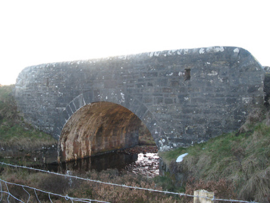
Description
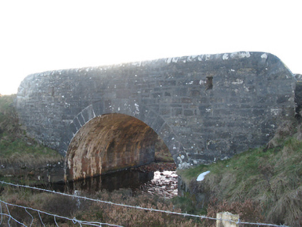
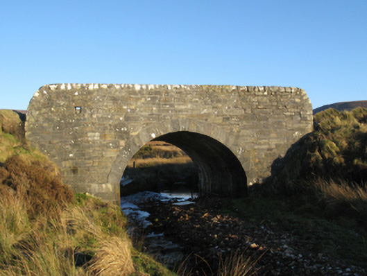
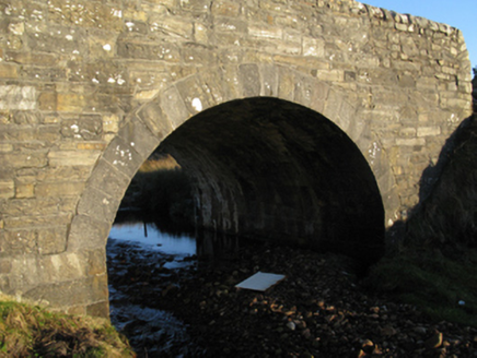
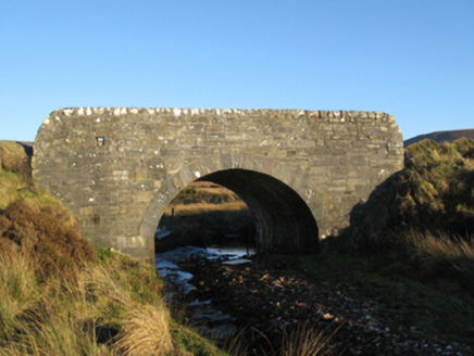
Single-arch road bridge over stream, built 1822[?]; extant 1838. "Repaired", 1963. Repointed walls with lichen-covered rounded coping to parapets. Single segmental arch with tooled limestone ashlar voussoirs. Sited spanning stream with unkempt banks to stream.
Appraisal
A bridge identified as an integral component of the early nineteenth-century civil engineering heritage of County Mayo on account of the connections with the branching-out of the so-called "Central Road" by William Bald (c.1789-1857), cartographer and engineer (appointed 1809), with the architectural value of the composition suggested not only by the "sparrow pecked" limestone dressings demonstrating good quality workmanship, but also by the elegant "sweep" of the arch making a pleasing visual statement at a crossing over a minor stream: meanwhile, a discreet benchmark remains of additional interest for the connections with cartography and the preparation of maps by the Ordnance Survey (established 1824).