


Survey Data
Reg No
30412306
Rating
Regional
Categories of Special Interest
Architectural
Original Use
Outbuilding
In Use As
Outbuilding
Date
1780 - 1820
Coordinates
151519, 206694
Date Recorded
04/09/2009
Date Updated
--/--/--
Description
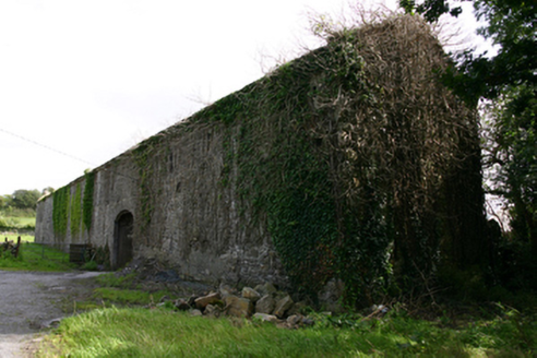
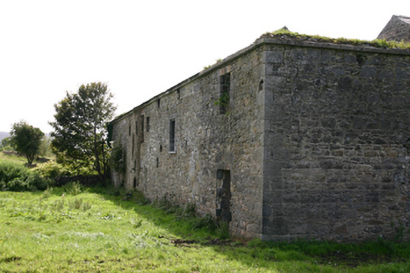
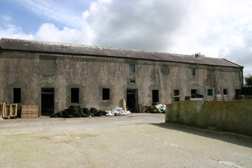
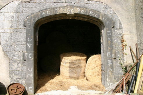
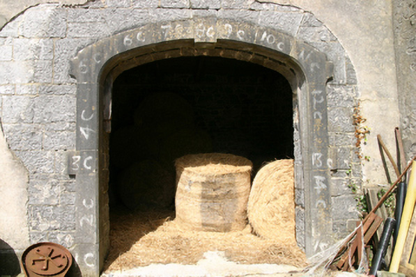
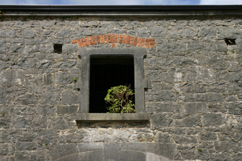
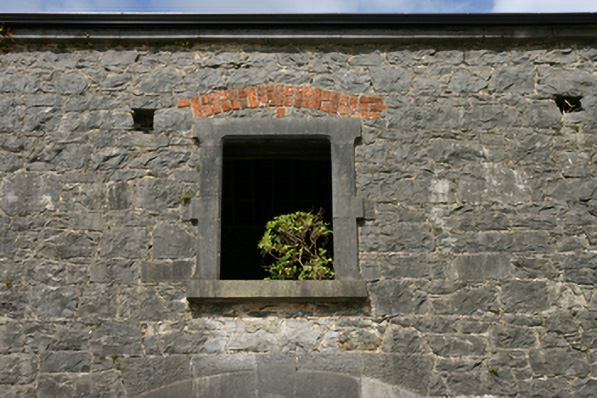
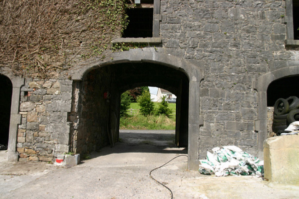
Courtyard of two-storey outbuildings, built c.1800, associated with Cappard House, latter now demolished. Yard formerly comprised F-plan arrangement of buildings, lower bar of 'F' now demolished. Eight-bay long block largely blank to its rear elevation except for vehicular throughway towards west end. Eleven-bay block at right angle to east end. Pitched slate roofs with some clay ridge tiles, and tooled limestone eaves course. Rubble limestone walls, rendered to east range and east end of north range. Scarring and interlock rubble indicates site of missing block. Square-headed window openings, some with red brick relieving arches to east range, and square-headed window openings with rounded corners to north range, latter having tooled limestone block-and-start surrounds. Square-headed door openings to east range. Elliptical-headed vehicular entrances to north range with tooled limestone block-and-start surrounds. Rubble limestone wall to roofless overgrown addition to south-west. Snecked dressed rubble limestone boundary wall to south. Recent single-storey slatted cattle shed to south.
Appraisal
This substantial courtyard complex retains a good sense of its original character, with skilled craftsmanship exhibited in the block-and-start surrounds to windows and doors to the north range. These outbuildings give some indication of the importance of the now demolished Cappard House.