


Survey Data
Reg No
30404904
Rating
Regional
Categories of Special Interest
Architectural, Social, Technical
Original Use
Quay/wharf
In Use As
Quay/wharf
Date
1800 - 1840
Coordinates
59295, 241542
Date Recorded
12/08/2008
Date Updated
--/--/--
Description
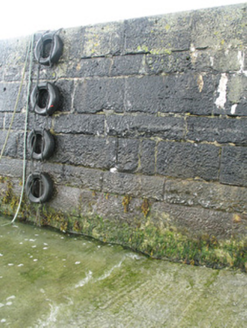
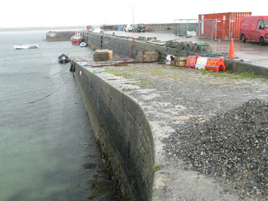
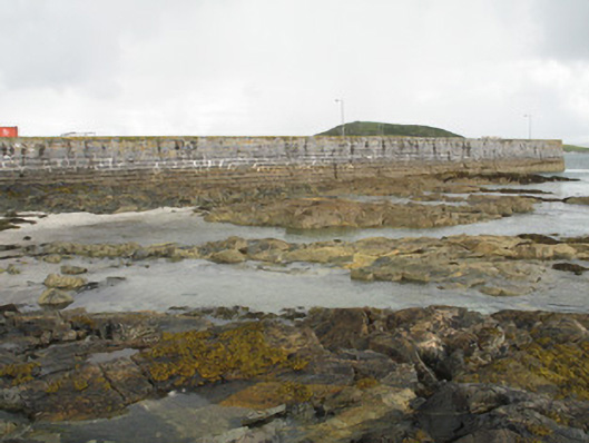
Ashlar limestone block L-plan quay, built c.1820, with slipway at south end of north-west elevation, and with later quay to north-west. Recent concrete repairs. Parapet (south-east) of roughly coursed granite rubble stone construction with dressed limestone coping and concrete step. Vertical walls to south-east and battered to north-west. Limestone and granite surface. Limestone bollards and recent attached steel ladders. Store to south of quay incorporated into parapet wall and comprising lean-to slate roof, rubble limestone walls, dressed quoins and square-headed door opening with replacement timber battened door.
Appraisal
This quay is of functional and historical importance in relation to the maritime history of the area. It is a reminder of the maritime activities of local fishermen and is an essential communication link for the nearby islands. It displays fine local craftsmanship, the quality and quantity of stonework hinting at the expense of this undertaking. It makes a fine contribution to the architectural heritage of the locality.