
Survey Data
Reg No
22817017
Rating
Regional
Categories of Special Interest
Social
Original Use
Park
In Use As
Park
Date
1870 - 1880
Coordinates
268928, 100413
Date Recorded
27/05/2003
Date Updated
--/--/--
Description
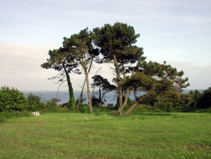
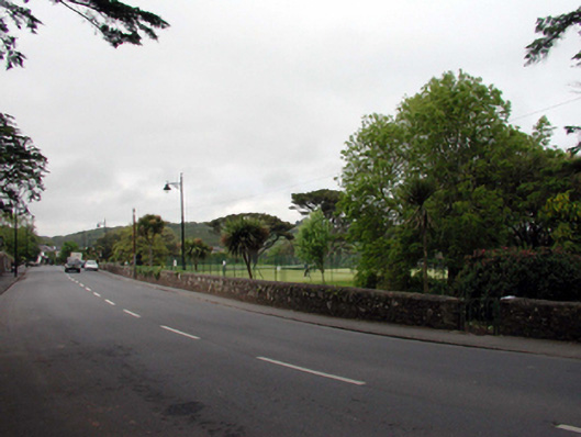
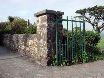
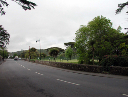
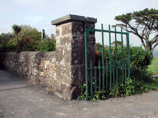
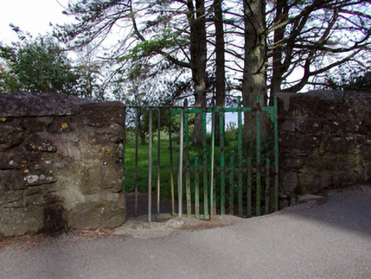
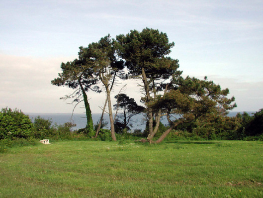
Public park, c.1875, with random rubble stone boundary wall to west having squared rubble stone piers with wrought iron gates, and wrought iron wicker gates to north and to south. Landscaped grounds to site with mature planting including Monterey Pines and Holm Oak. Positioned on top of cliff overlooking strand (to north) and harbour (to south).
Appraisal
Parc na mBo is of considerable interest as evidence of the development of Dunmore East as a seaside village in the mid to late nineteenth century. Of landscape design significance, the site juxtaposes features of natural and planned interest. The grounds incorporate important specimen planting, while the site is also a valuable Kittiwake colony. The boundary wall fronting on to Dock Road is constructed in a traditional manner, incorporating locally-sourced stone that assimilates into the surrounding landscape, while the wicker gates are an increasingly-rare survival that enhance the visual appeal of the site. The park forms an attractive feature in Dock Road, allowing uninterrupted views of the strand from Haven Hotel (22817021/WD-27-17-21), and vice versa.