


Survey Data
Reg No
21903808
Rating
Regional
Categories of Special Interest
Architectural, Cultural, Social, Technical
Original Use
Bridge
In Use As
Bridge
Date
1775 - 1780
Coordinates
149758, 135050
Date Recorded
13/08/2009
Date Updated
--/--/--
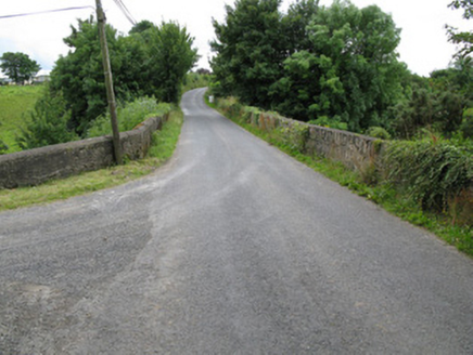
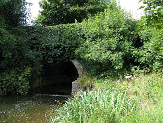
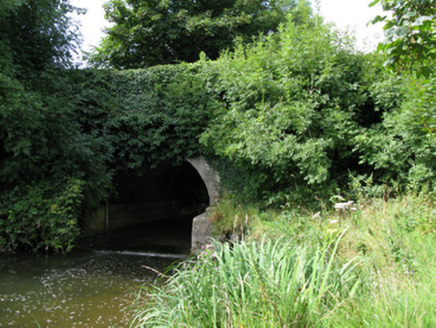
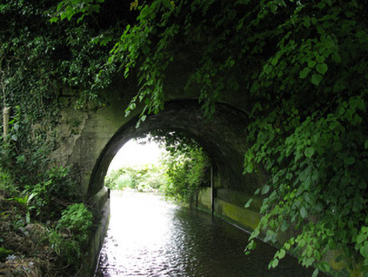
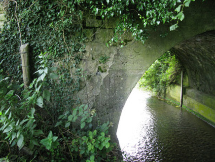
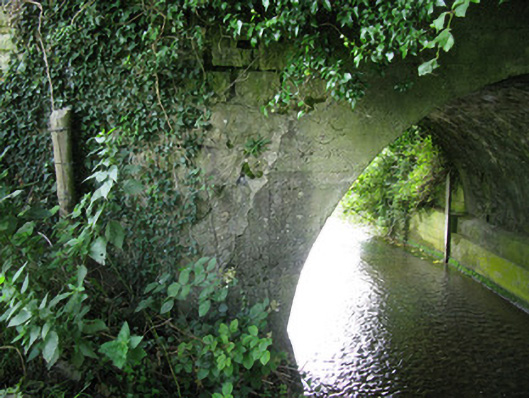
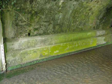
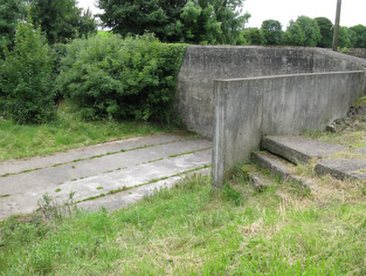
Description
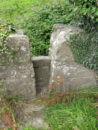
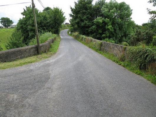
Single-span limestone road bridge, dated 1776, spanning a former mill race, having later handball alley to side (east) and substantial repair work. Round-headed arch having replacement render archivolt, inserted following bridge collapse, c. 1980, having rendered and dressed rubble stone soffit springing from rendered piers. Rubble stone spandrels with render repairs rising to rubble stone abutments and rubble stone parapet walls. Having rubble stone and render coping with dressed stone stile to northern end of side (west) elevation. Concrete lined basin beneath arch. Tarmac road over bridge. Handball alley to northern end of side (east) elevation comprising rendered walls and base.
Appraisal
Situated spanning an old mill race, this bridge was built by the Tuthill family, who lived at Kilmore House. The bridge features many repairs following two collapses, with the first collapse occurring in the nineteenth century and the second in the late twentieth century. The bridge features large abutments that span the width of the valley, with their large scale utilised to form an handball alley, an important social and recreational element within early twentieth-century Ireland. A second unusual feature of this bridge, is the fine stile allowing access from the road down to the field and river.