

Survey Data
Reg No
21813061
Rating
Regional
Categories of Special Interest
Archaeological, Architectural, Technical
Original Use
Bridge
In Use As
Bridge
Date
1790 - 1810
Coordinates
160647, 128429
Date Recorded
17/11/2007
Date Updated
--/--/--
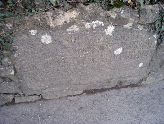
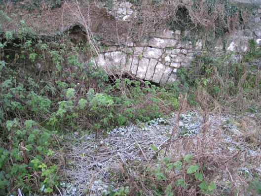
Description
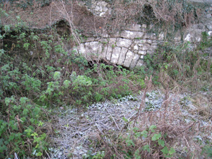
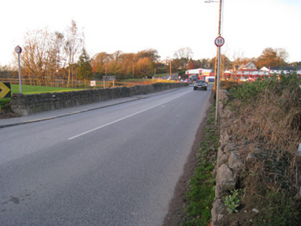
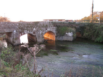
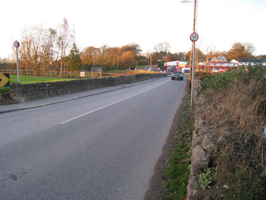
Five-arch road bridge over the River Loobagh, built c. 1800, rebuilt in 1916. Bridge may contain early medieval fabric. Random coursed rubble limestone walls with cast-iron ties and inscribed plaque to west parapet wall. Dressed voussoirs to round-headed arches. Limestone and cement V-cutwaters to north elevation. Square-headed arch having concrete lintel to south.
Appraisal
This well proportioned bridge incorporates an early limestone plaque, which is of some archaeological significance. The bridge may incorporate elements pre-dating the eighteenth and nineteenth centuries. As the road forms the main route leading north from Kilmallock, it is possible that a bridge was located there from the medieval period. The traditional construction in unrefined, locally sourced rubble stone produces an appealing textured visual effect, which integrates well with the surrounding landscape. The civil engineering significance of the composition is identified by the rendering of the elegant arches, which have retained their original profile. North Bridge was located adjacent to a now demolished Kilmallock Mill, while the Kilmallock Pound was located to the south of the bridge.