


Survey Data
Reg No
20907104
Rating
Regional
Categories of Special Interest
Architectural, Technical
Original Use
Bridge
In Use As
Bridge
Date
1790 - 1830
Coordinates
135317, 72726
Date Recorded
09/03/2009
Date Updated
--/--/--
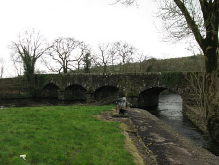
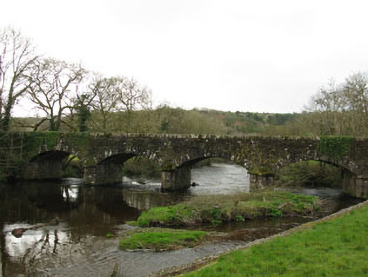
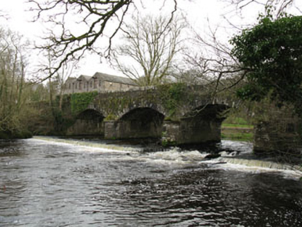
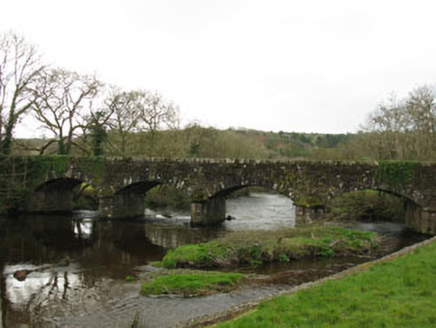
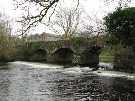
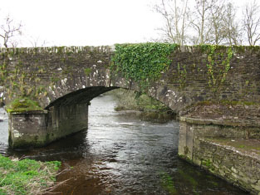
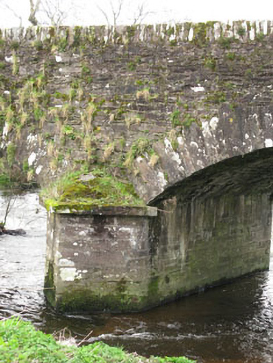
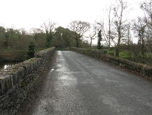
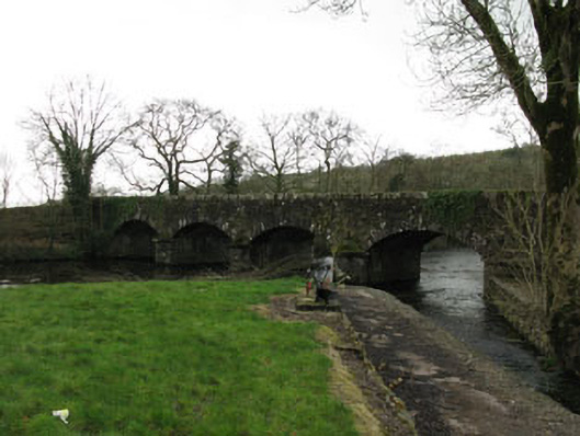
Description
Four-arch road bridge spanning River Laney, built c.1810. Rubble stone walls with roughly dressed voussoirs to segmental-headed arches. Roughly dressed rubble stone parapet having solider capping. V-cutwaters to up (north-east) and downstream (south-west) elevations of coursed stone piers. Weir to downstream elevation.
Appraisal
A well-proportioned bridge which retains the original profile of its arches and cutwaters. Located adjacent to Bealick Mill, together bridge and mill form a picturesque group. Carrying substantially more and heavier traffic than its original designers could have imagined, it stands as a testament to the skill of those involved in its construction.