


Survey Data
Reg No
20844218
Rating
Regional
Categories of Special Interest
Architectural, Artistic, Historical, Social
Original Use
Country house
In Use As
House
Date
1800 - 1840
Coordinates
148522, 54173
Date Recorded
18/06/2009
Date Updated
--/--/--
Description
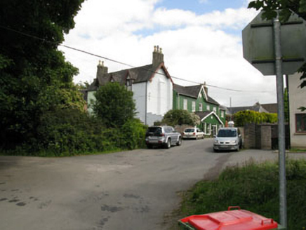
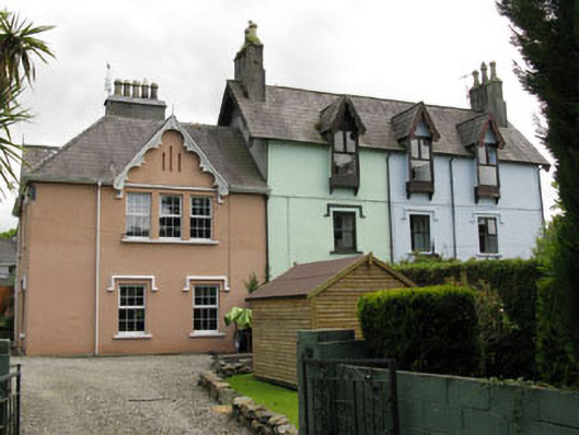
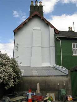
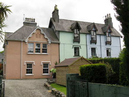
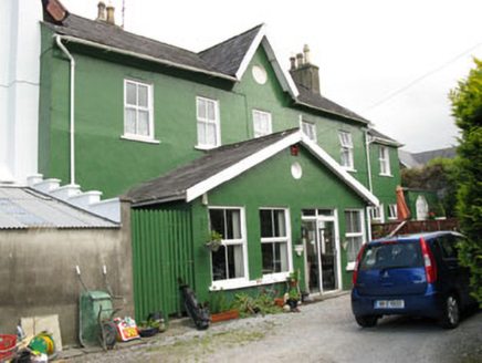
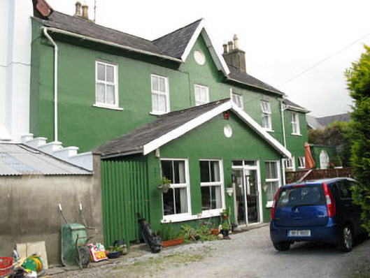
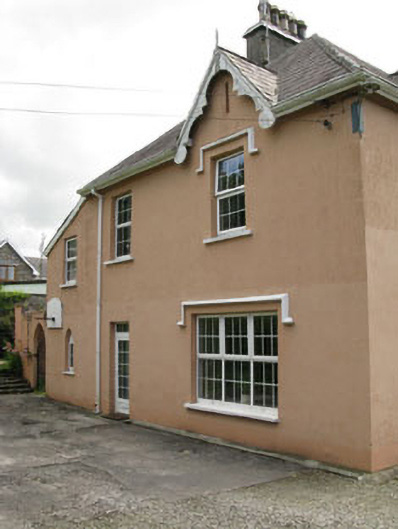
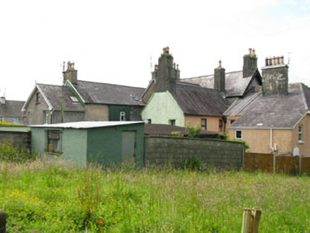
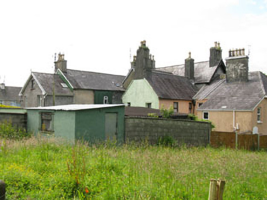
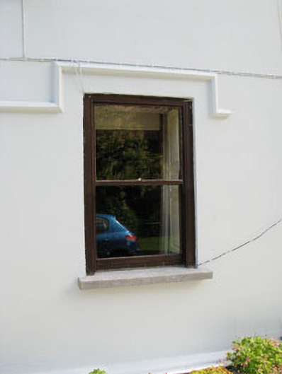
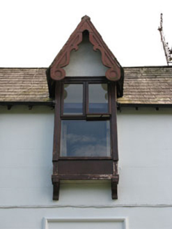
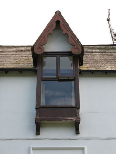
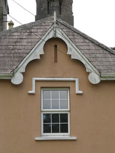
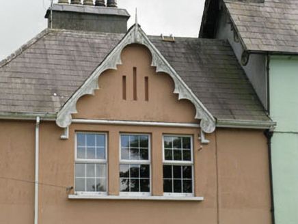
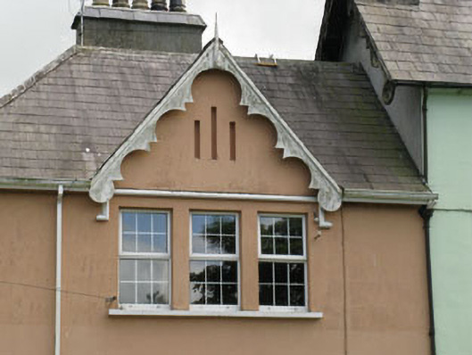
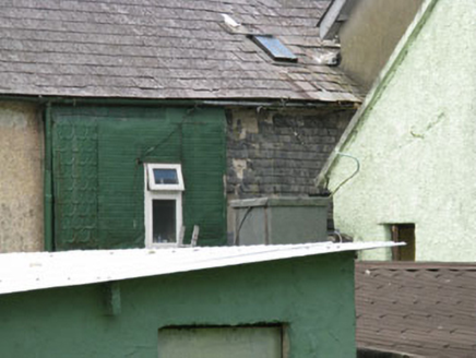
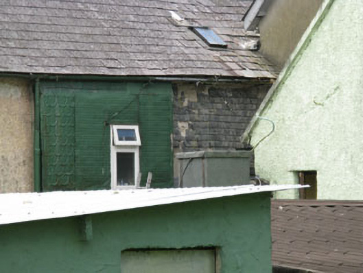
Detached three-bay three-storey former country house, built c.1820, having two-bay two-storey wing to side (north-east) with two-bay return to side (north-east) and single-bay two-storey lean-to extension to rear elevation of return. Five-bay two-storey block to west end of rear (south-east) elevation of house having two-bay two-storey extension to rear of block. Central two-storey gable-fronted end-bay and two-storey gable-fronted end-bay to east end of rear elevation of house. Additional porch to front elevation of house and lean-to garage to side (south-west) elevation of house. Gable-fronted bays to front and side (north-east) elevations of later wing and side (south-west) elevation of five-bay two-storey block. Gable-fronted oriels to second floors front elevation of house. Now in multiple ownership forming four separate houses. Pitched slate roofs throughout with exception of hipped slate roof to wing with rendered chimneystacks, eaves courses, rooflights, carved timber bargeboards to gables, finials to gable-fronted bays to wing and additional porch and cast-iron and uPVC rainwater goods. Slate-lean-to roofs to extension to rear elevation of wing. Corrugated-iron lean-to roof to additional garage with rendered parapet wall having render coping to front elevation. Pitched artificial slate roof to additional porch. Lined-and-ruled rendered walls with plinth to front, side (north-east and south-west) elevations. Rendered walls to rear elevation of lean-to addition to wing, side (north-east) elevation of projecting end-bay to rear elevation of house. Roughcast rendered walls to rear and side (north-east) elevations of five-bay block, central projecting bay and rear elevation of projecting end-bay to rear elevation of house. Remains of slate hanging to rear elevation of house and side (north-east) elevation of five-bay block. Ocular recess to gable-fronted bay to side (south-west) elevation of five-bay block. Oriels comprising of rendered walls with timber platbands supported on timber corbels and rendered gables. Square-headed window openings having tooled limestone sills to west end ground floor to front elevation, rendered sills to rest with replacement timber and uPVC casement windows throughout. Render hood mouldings to front and side (north-east) elevation. Slit apertures to gable-fronted bays to front and side (north-east) elevations of wing. Pointed arch window opening to side (north-east) elevation of wing having rendered sill and replacement uPVC casement window surmounted by blocked fanlight. Round-headed door opening to front elevation having timber doorcase, tooled limestone step with double-leaf timber panelled doors giving access to internal porch with internal double-leaf glazed timber doors. Square-headed door openings having replacement glazed timber door surmounted by single-pane overlight and rendered hood moulding to front elevation of central house, replacement glazed uPVC door, double-leaf sliding glazed uPVC doors to side (south-west) elevation and glazed uPVC door surmounted by tripartite pane uPVC overlight to side (north-east) elevation. Timber panelled garage door to front elevation. Rendered and lined-and-ruled rendered enclosing walls having pointed arch door opening having single-leaf wrought-iron gate to side (north-east) and splayed entrances with square-profile piers and double-leaf wrought-iron gates to north-west. Various outbuildings to south-east. Located overlooking the New Road accessed via freestanding double-span road bridge to north west of house, spanning the Bridewell river having round-headed arches comprising of roughly dressed rubble stone voussoirs springing from rubble stone piers. Rubble stone spandrels and parapet walls with render coping.
Appraisal
Situated within an area of recent residential development, this former country house is a reminder of the more rural quality of this area in the past. It belonged to the Hewitt family, for whom the nearby Hewitt's Bridge was named. The Ordnance Survey maps of the nineteenth and early twentieth century show this house and former gate lodge to the south-west located on the outskirts of the town within extensive grounds. Although altered and divided into separate houses, much of the building historic form and fabric survives including slate hanging, slate roofs and oriel windows. The gabled bays, oriels with hood mouldings and carved timber bargeboards add to its character and charm.