
Survey Data
Reg No
15704104
Rating
Regional
Categories of Special Interest
Architectural, Scientific, Technical
Original Use
Bridge
In Use As
Bridge
Date
1700 - 1798
Coordinates
287152, 118471
Date Recorded
12/09/2007
Date Updated
--/--/--
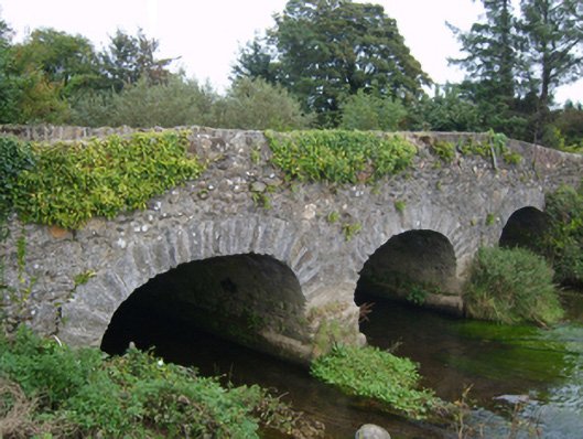
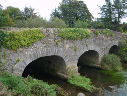
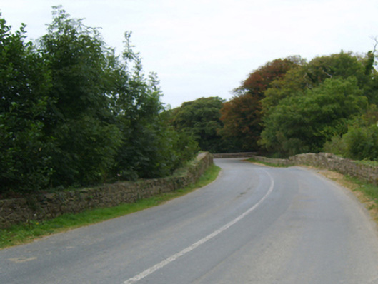
Description
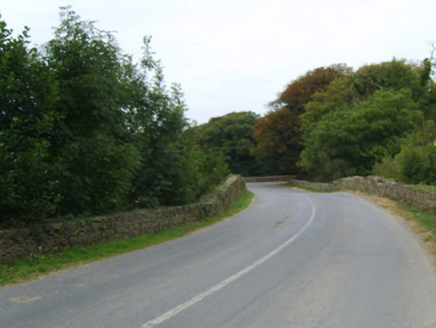
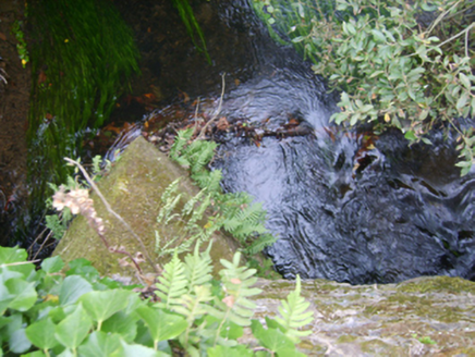
Three-arch road bridge over river, extant 1798. Part creeper- or ivy-covered walls centred on triangular cutwaters to piers to upriver (north) elevation having moss-covered pyramidal capping with rubble stone coping to parapets. Series of three elliptical arches with lichen-spotted voussoirs. Sited spanning river with unkempt banks to river.
Appraisal
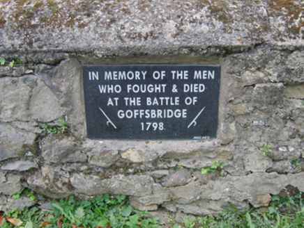
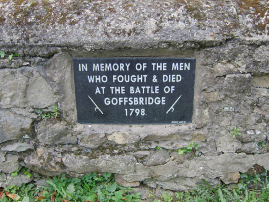
A bridge representing an integral component of the eighteenth-century civil engineering heritage of south County Wexford: meanwhile, a discreet benchmark remains of additional interest for the connections with cartography and the preparation of maps by the Ordnance Survey (established 1824). NOTE: A recent plaque (1998) commemorates 'the men who fought and died at the Battle of Goffsbridge [sic]' (cf. 15704014).