

Survey Data
Reg No
15702109
Rating
Regional
Categories of Special Interest
Architectural, Scientific, Technical
Original Use
Bridge
In Use As
Bridge
Date
1700 - 1840
Coordinates
305775, 142127
Date Recorded
14/08/2007
Date Updated
--/--/--
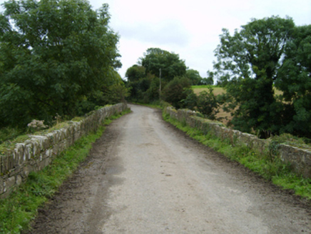
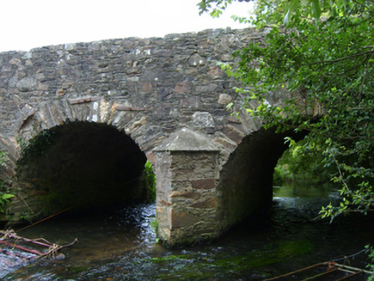
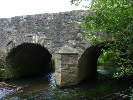
Description
Two-arch road bridge over river, extant 1840. Part creeper- or ivy-covered schist-inserted coursed or snecked rubble stone walls centred on triangular cutwaters to pier having lichen-spotted pyramidal capping with rubble stone soldier course coping to parapets. Pair of round or segmental arches with repointed voussoirs. Sited spanning Ballyedmond River with unkempt banks to river.
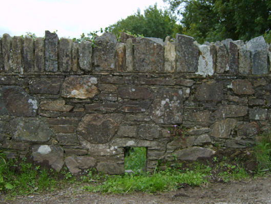
Appraisal
A bridge representing an integral component of the civil engineering heritage of County Wexford: meanwhile, a much weathered benchmark remains of additional interest for the connections with cartography and the preparation of maps by the Ordnance Survey (established 1824).