
Survey Data
Reg No
15702002
Rating
Regional
Categories of Special Interest
Architectural, Scientific, Technical
Original Use
Bridge
Date
1785 - 1795
Coordinates
298373, 145069
Date Recorded
13/08/2007
Date Updated
--/--/--
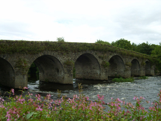
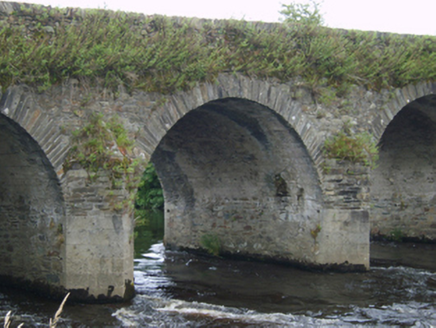
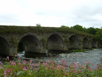
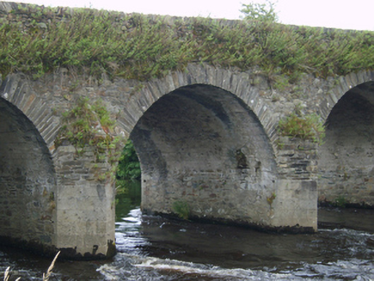
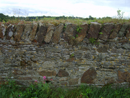
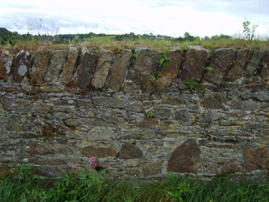
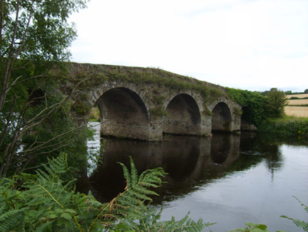
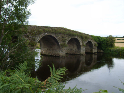
Description
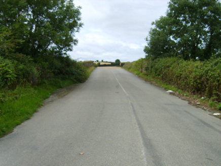
Six-arch hump back road bridge over river, under construction 1790. Bypassed, 1976. Now disused. Part overgrown coursed rubble stone walls centred on triangular cutwaters to piers on granite or limestone ashlar bases having overgrown pyramidal capping with rubble stone diagonal soldier course coping to parapets. Series of six segmental arches with lichen-spotted cut-limestone voussoirs. Sited spanning River Slaney with unkempt banks to river.
Appraisal
A bridge erected by the Oriel Brothers of Hampshire representing an important component of the late eighteenth-century civil engineering heritage of County Wexford with the architectural value of the composition, one succeeding a bridge annotated as "Scarewalsh [sic] Bridge" by Taylor and Skinner (1778 pl. 154), suggested not only by the construction in unrefined local fieldstone offset by rough cut dressings demonstrating good quality workmanship, but also by the elegant "sweep" of the arches making a pleasing visual statement at a crossing over the River Slaney: meanwhile, a benchmark remains of additional interest for the connections with cartography and the preparation of maps by the Ordnance Survey (established 1824).