


Survey Data
Reg No
15701925
Rating
Regional
Categories of Special Interest
Architectural, Scientific, Technical
Original Use
Bridge
In Use As
Bridge
Date
1842 - 1904
Coordinates
293233, 143277
Date Recorded
23/08/2007
Date Updated
--/--/--
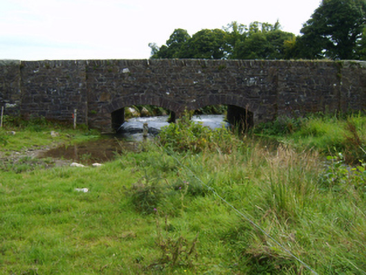
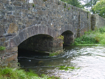
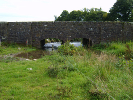
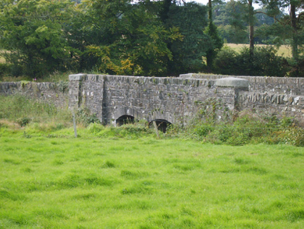
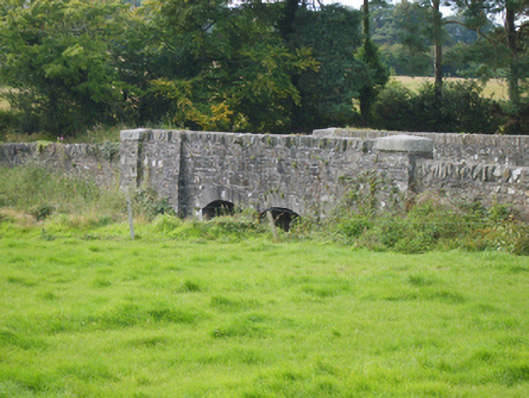
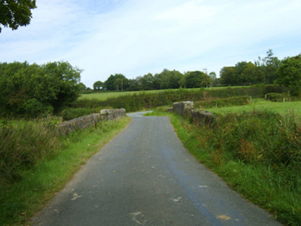
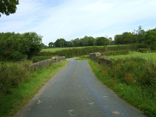
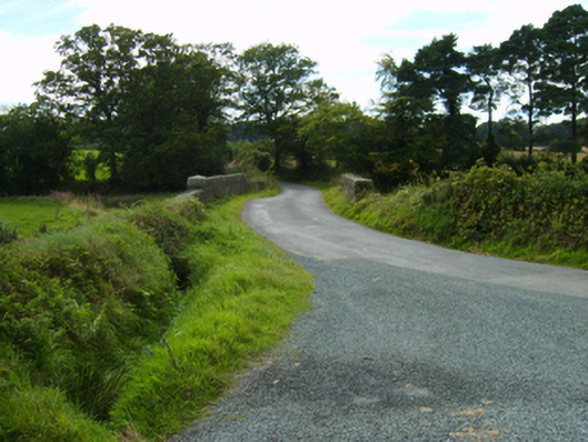
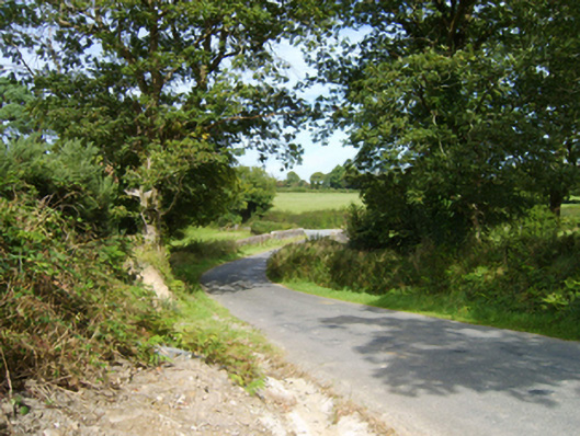
Description
Two-arch road bridge over stream, extant 1904. Broken coursed rubble stone battered walls between broken coursed rubble stone battered piers with cut-granite shallow pyramidal capping centred on rubble stone angled soldier course coping. Pair of camber or segmental arches with granite ashlar voussoirs. Sited spanning stream with unkempt banks to stream.
Appraisal
A bridge representing an integral component of the nineteenth-century civil engineering heritage of County Wexford with the architectural value of the composition suggested not only by the granite dressings demonstrating good quality workmanship, but also by the gentle "sweep" of the arches making a pleasing visual statement at a crossing over a minor tributary of the Urrin River: meanwhile, a discreet benchmark remains of additional interest for the connections with cartography and the preparation of maps by the Ordnance Survey (established 1824).